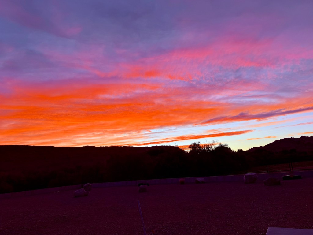
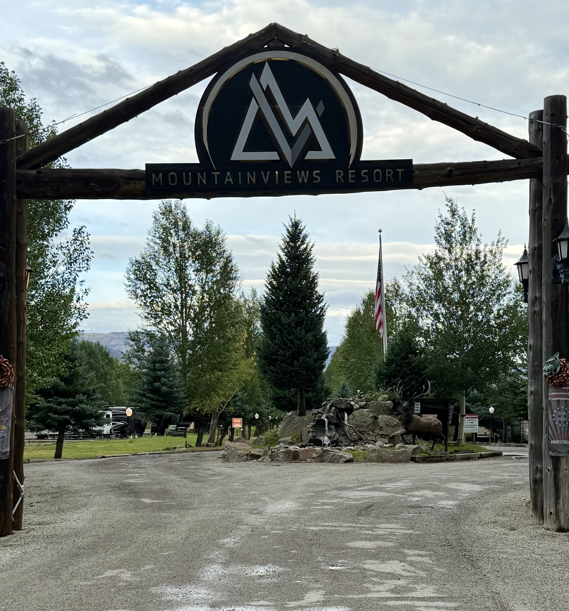
Our last entry had us leaving Colorado Springs and pointing Jackson toward the tiny mountain town of Creede, Colorado. We had enjoyed this charming former silver-mining town so much on our previous visit that we booked a return stay—along with another riverfront site at Mountain Views RV Resort.
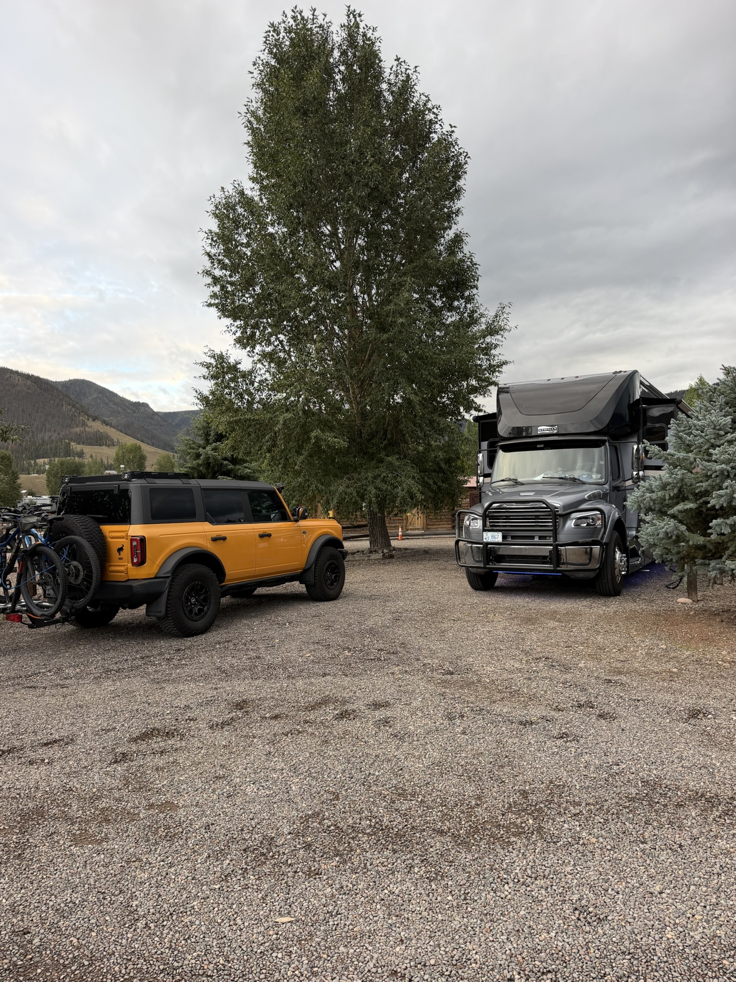
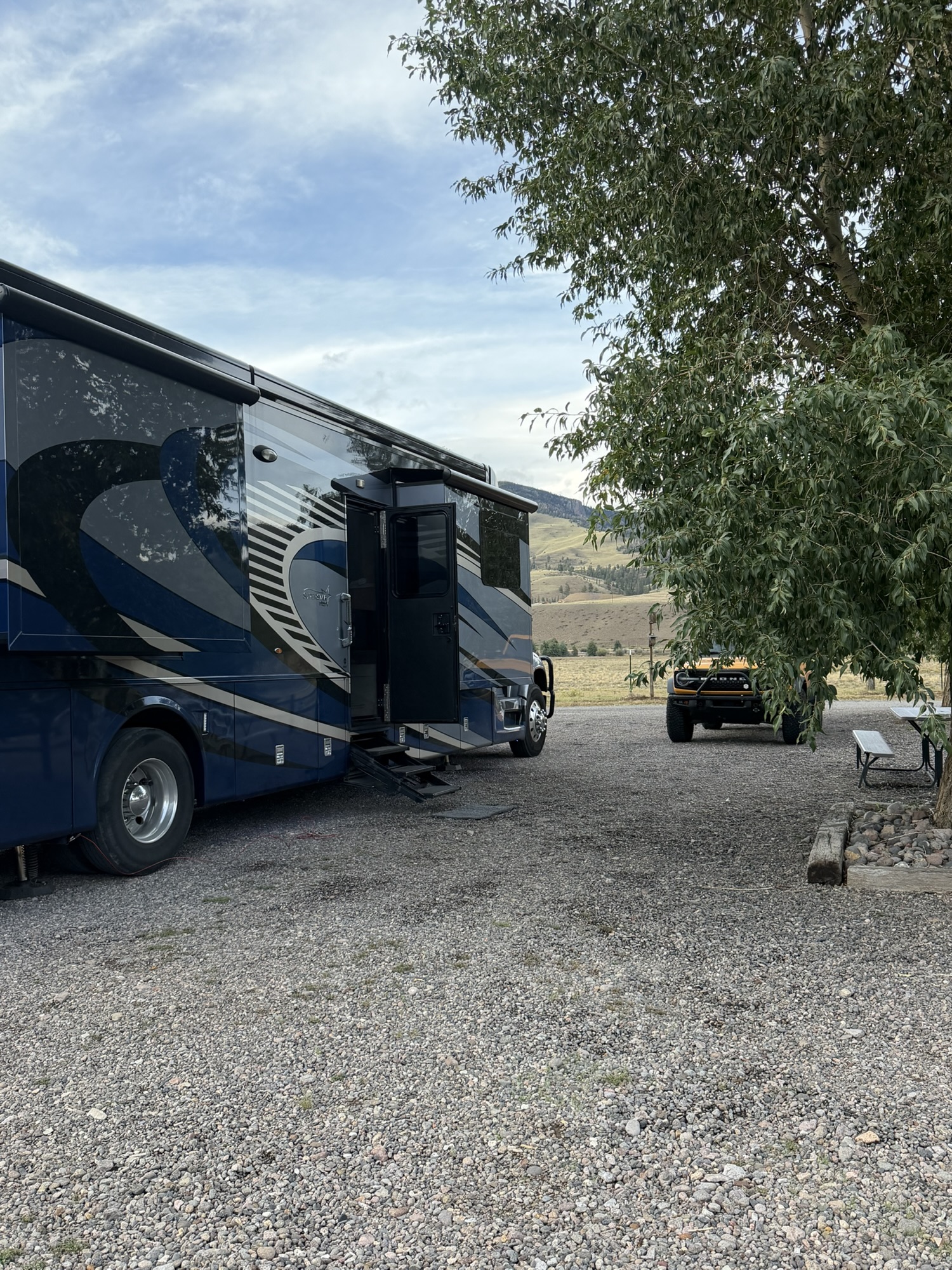
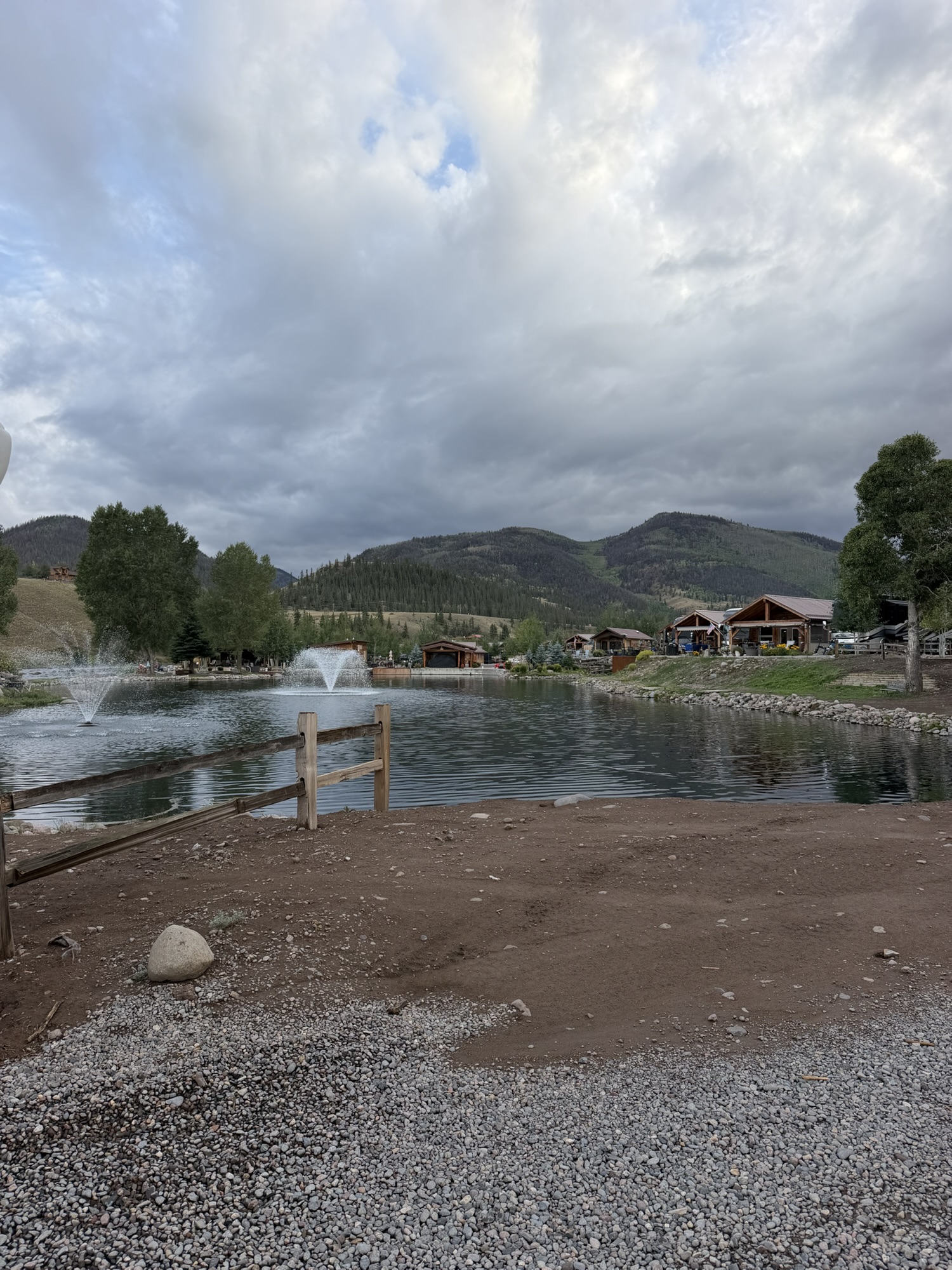
Shortly after arriving, we were warned not to walk Timber too late at night near the dumpsters because the campground had been experiencing some bear activity. 😳
Guess where the dumpsters were located?
Right beside Timber’s favorite place in every campground—the dog park.
The dog park is the first thing he sniffs out when we arrive, an essential part of his morning walk and, of course, the final stop during his bedtime ritual. Keeping Timber away from a dog park is a little like keeping Mark away from chocolate. It can be done, but no one involved is particularly happy about it.
We managed to avoid any close encounters until the final morning of our stay. Did I mention that the campground supports dark-sky practices and therefore has very few lighted paths? Before dawn, Mark and Timber were making their usual rounds when they heard something moving near the dumpsters. Timber, naturally, wanted to investigate. Mark, showing far better judgment, managed to redirect him and make a quick retreat to the safety of Jackson.
Sure enough, around 9:00 that morning, campground maintenance workers were cleaning up debris scattered around the dumpsters—and a new sign had appeared warning guests about additional bear activity.
Apparently, something had enjoyed a late-night buffet while the rest of us slept.
Exploring More of Creede
Because we had already visited several of Creede’s best-known attractions during our previous stay, we decided to seek out a few places we had missed. Creede has a fantastic community theater, but unfortunately, our timing did not line up with the show we most wanted to see.
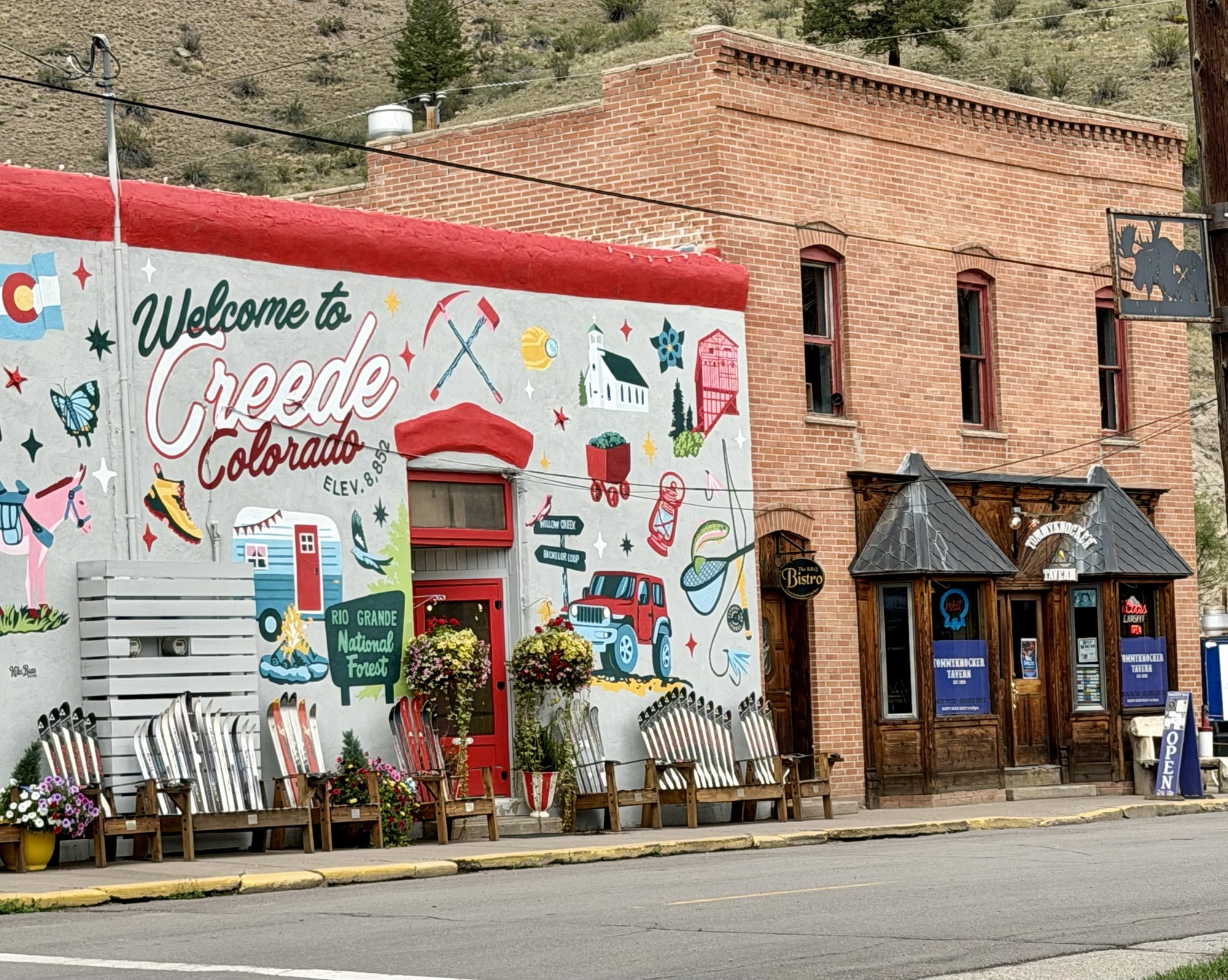
Instead, we took an afternoon off and started with a late lunch at Vida Eat to Live, located along Creede’s tiny main thoroughfare. Our sandwiches were packed with fresh ingredients and were more than filling—fueling us for an hour or so of poking around the town’s quaint, though not exactly inexpensive, shops.
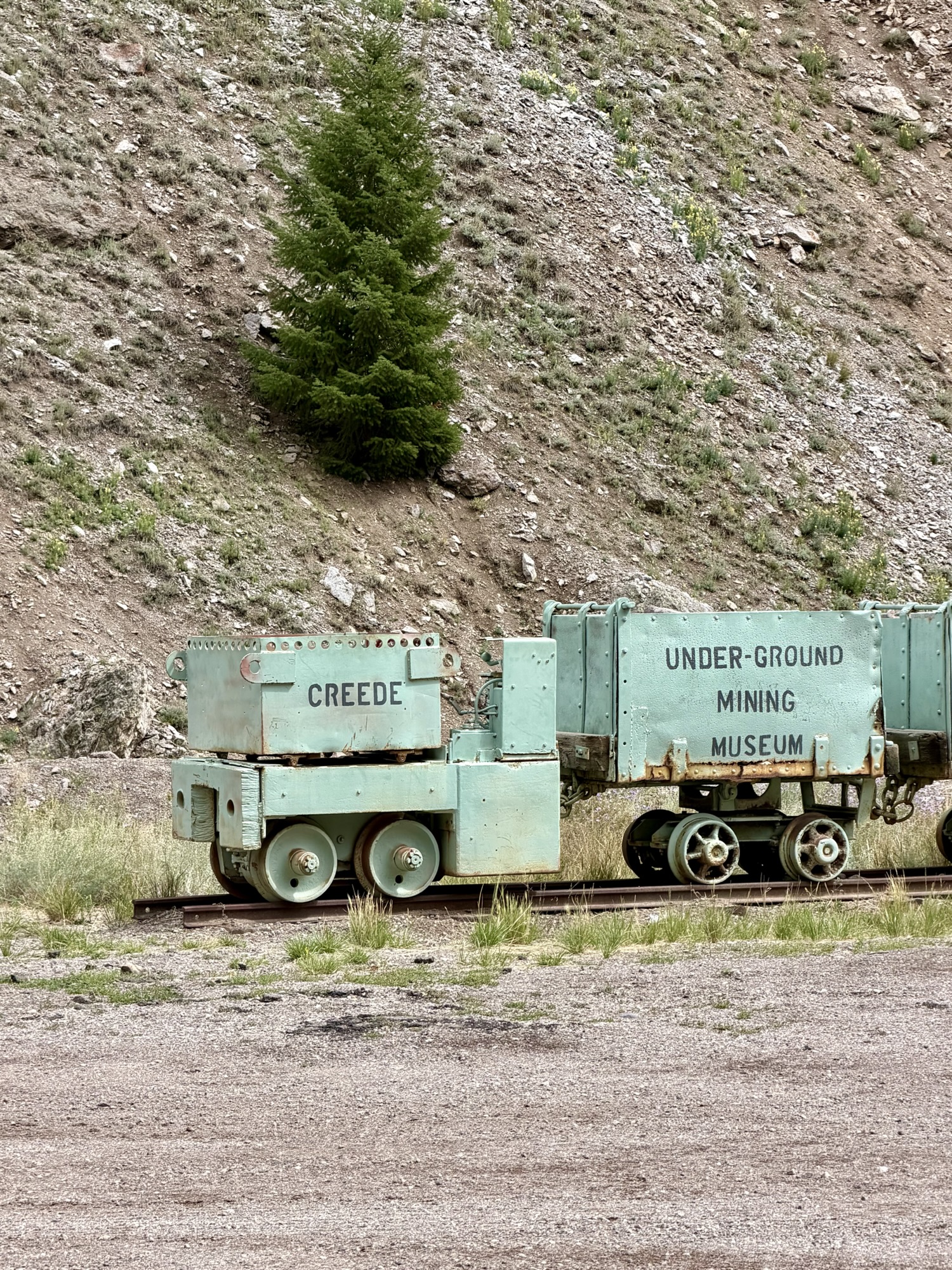
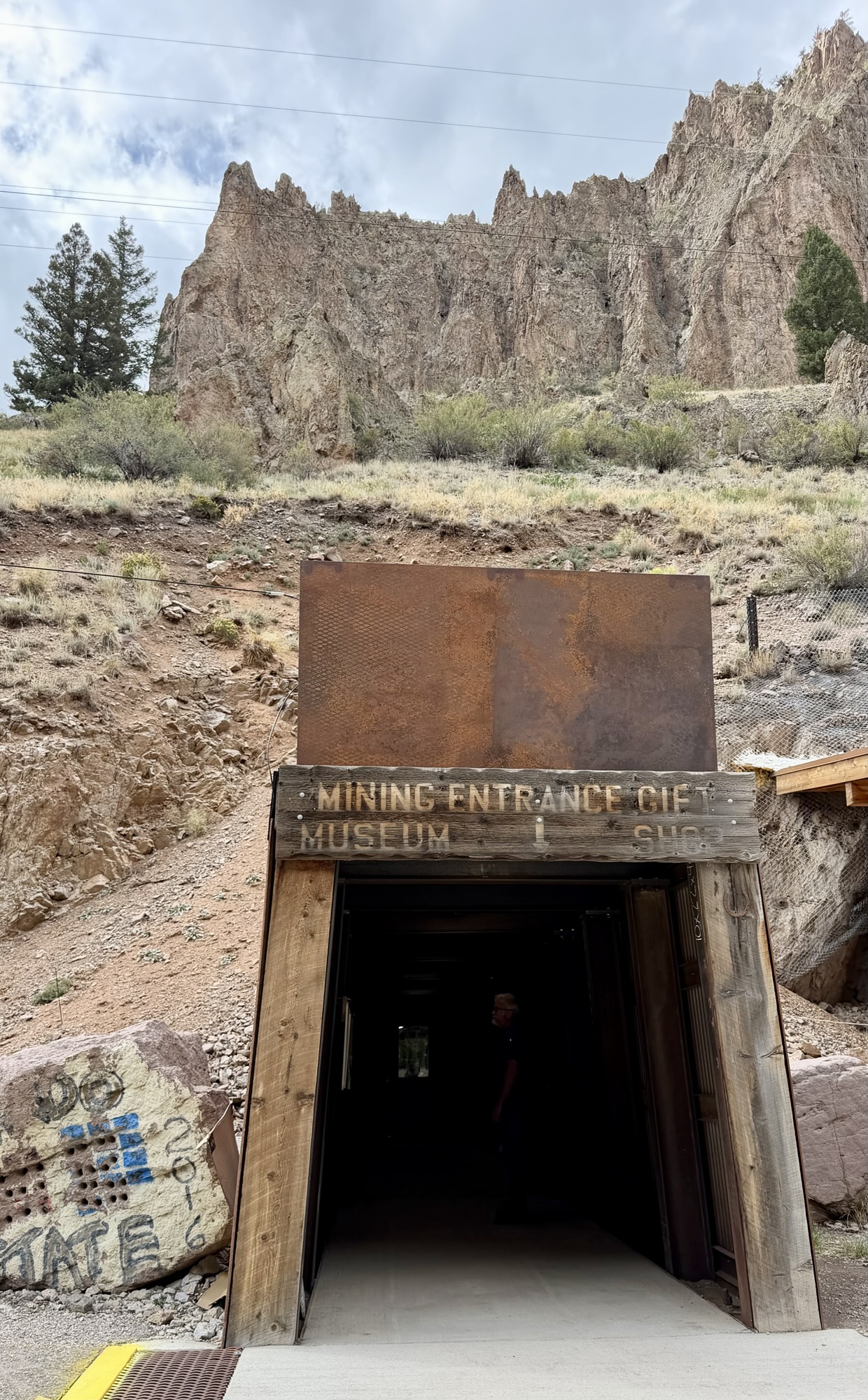
From there, we headed just beyond the main hub of town to the Creede Underground Mining Museum.
The staff made it very clear that the museum was never an operating mine. Instead, three local miners began blasting through the solid rock in 1990, eventually creating approximately 600 feet of underground passageways. With the help of volunteers, family members and former miners, the tunnels were transformed into an authentic representation of what working underground would have been like.
Guided tours are sometimes available, but on the day we visited, our only option was a self-guided audio tour. That still gave me plenty of opportunities to collect a few interesting facts to pass along.
Many RVers are familiar with the term “honey wagon,” the truck or portable tank used to empty an RV’s holding tanks. As it turns out, miners also used the term in the early 20th century—although their version was essentially an underground toilet cart. Even more unsettling, it was reportedly positioned near the miners’ lunch area to discourage lengthy meal breaks and get everyone back to work faster.
Suddenly, dumping our tanks at a campground doesn’t seem quite so bad.
Creede’s spectacular silver boom began after silver was discovered in 1889. The town’s population quickly swelled as miners rushed into the area, but the boom was short-lived. The Silver Panic of 1893 brought those glory days to an abrupt end. Mining itself continued around Creede for decades, however, with the last major mine closing in 1985. Although silver was the prize, the region’s deposits also produced other minerals—including beautiful purple amethyst.
One final bit of Creede trivia: scenes from Disney’s 2013 movie The Lone Ranger, starring Johnny Depp as Tonto and Armie Hammer as the Lone Ranger, were filmed in and around Creede. The production reportedly spent several weeks filming in the area, using the surrounding canyons and rugged landscape as part of its Old West setting.
As we emerged from the museum, a few raindrops began to fall. Dark clouds were gathering quickly, so we hurried back to the campground just before a brief but fierce hailstorm rolled through. It arrived with plenty of noise and drama, then disappeared almost as quickly as it had formed.
Thankfully, Jackson and Cheeto escaped without damage.
Exploring Creede’s Backroads
The following afternoon, we loaded Cheeto with snacks and water for Mark, Timber and me and headed out for some mild off-roading.
Our first destination was the Rio Grande National Forest, where we followed Pool Table Road, a dirt-and-gravel route located about seven miles east of Creede along Highway 149 toward South Fork. The drive gave us wide-open mountain views, quiet forest scenery and plenty of places to stop and explore without anything becoming too technical for Cheeto.
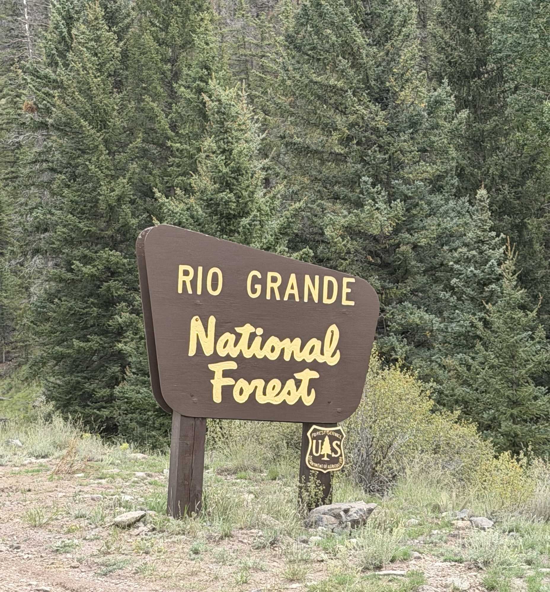
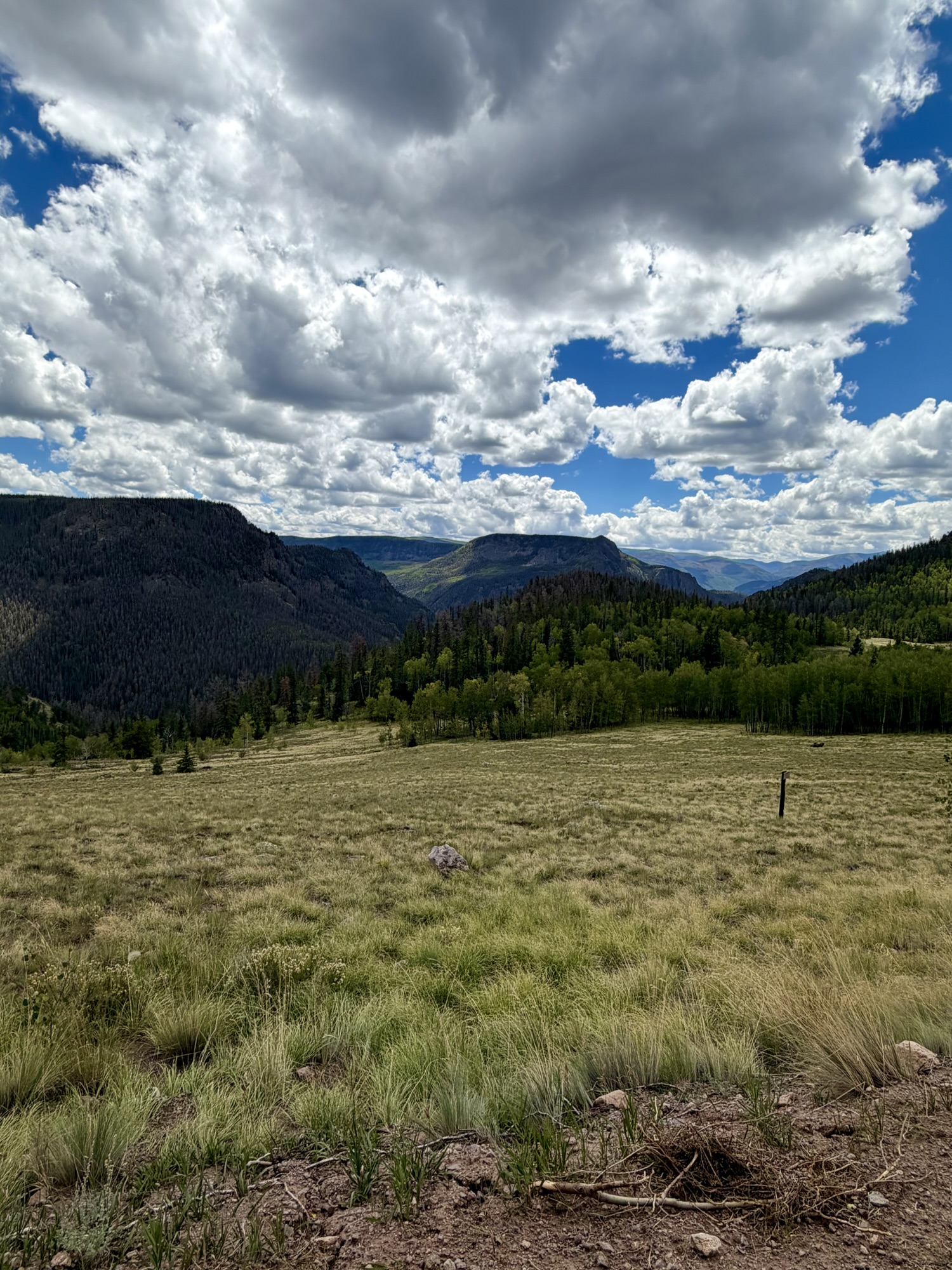
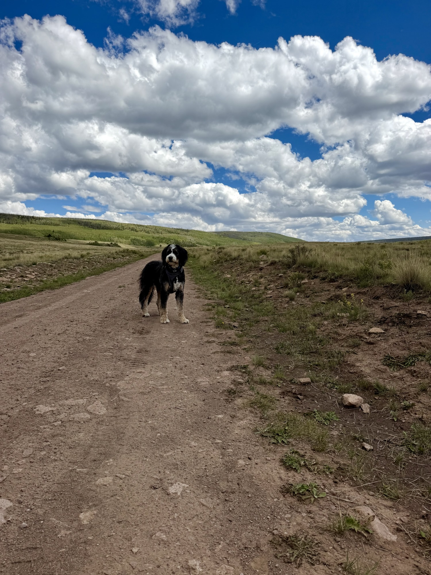
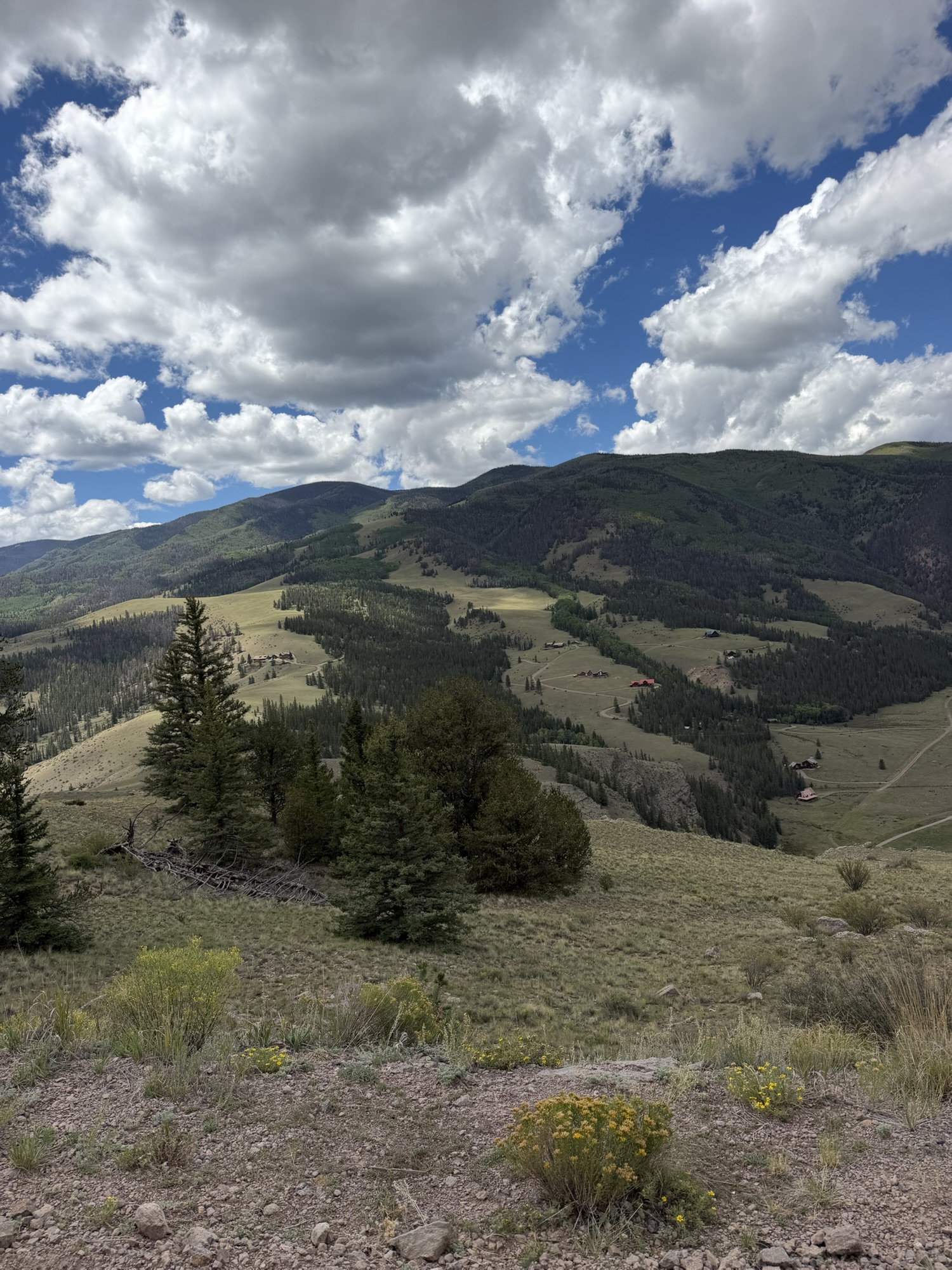
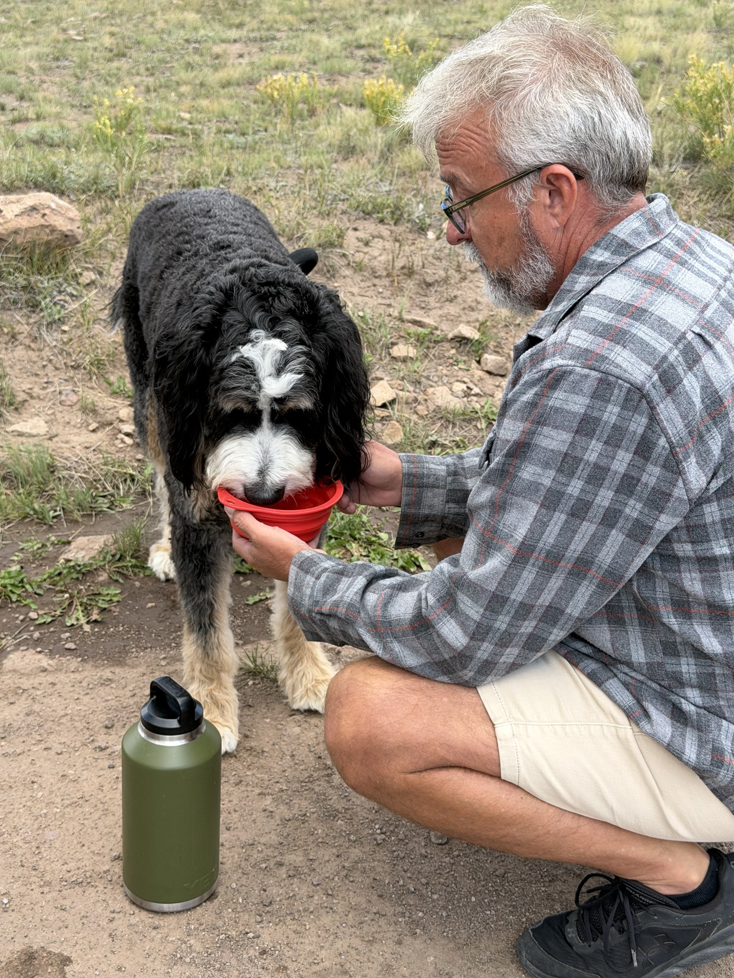
Afterward, we passed back through Creede and followed East Willow Creek Road toward the western portion of the Historic Bachelor Loop. This 17-mile self-guided interpretive route winds through Creede’s former mining district and climbs roughly 2,000 feet above town. Considering that Creede already sits at an elevation of 8,852 feet, the views from above are impressive.
Much of the property along the route is now privately owned, and there are plenty of “No Trespassing” signs to remind visitors of that fact. Fortunately, free maps are available around town, and the significant mining sites are well marked along the drive. Even when you cannot explore the old structures closely, the loop offers a fascinating glimpse into the difficult terrain where miners once worked and lived.
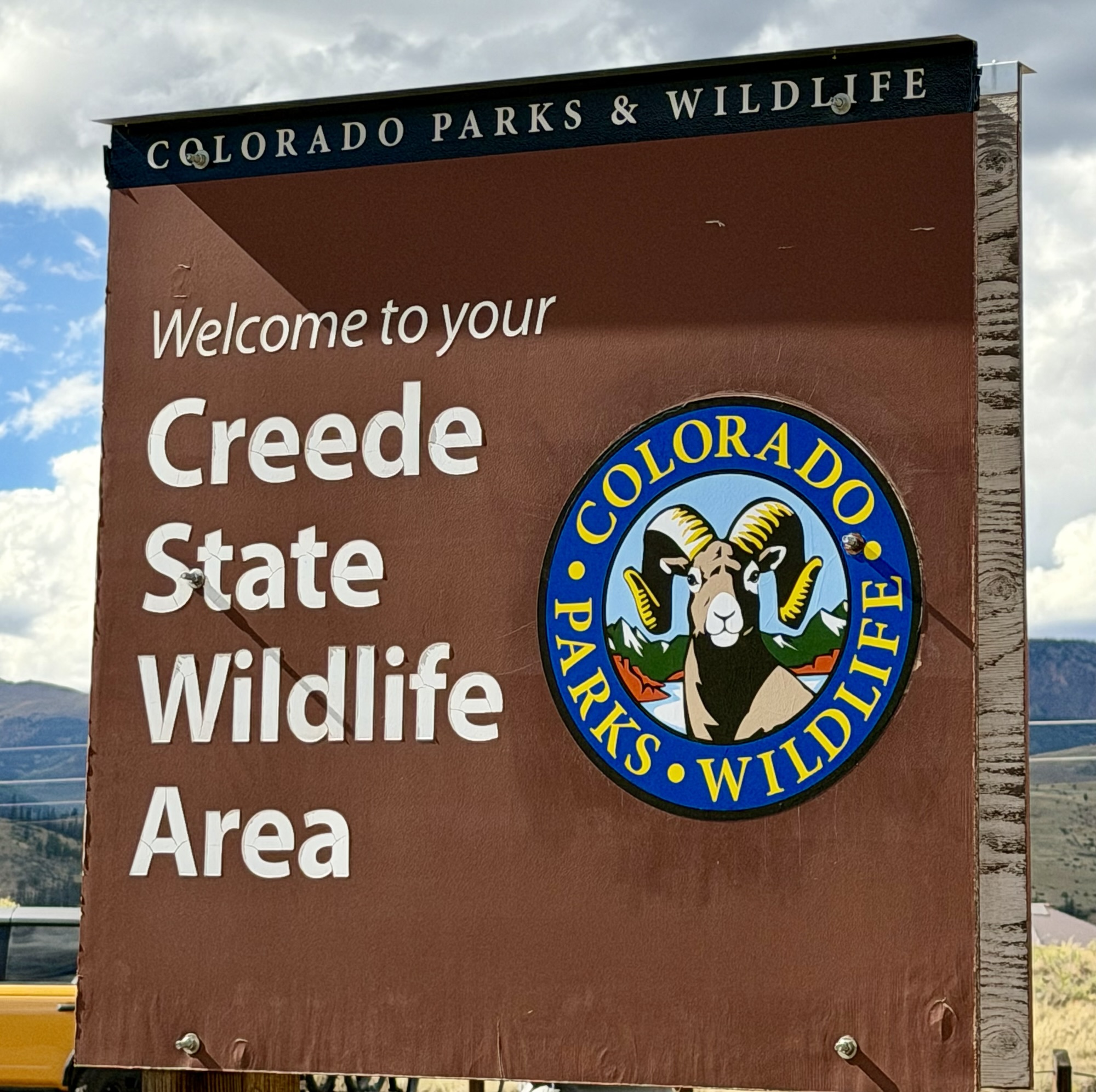
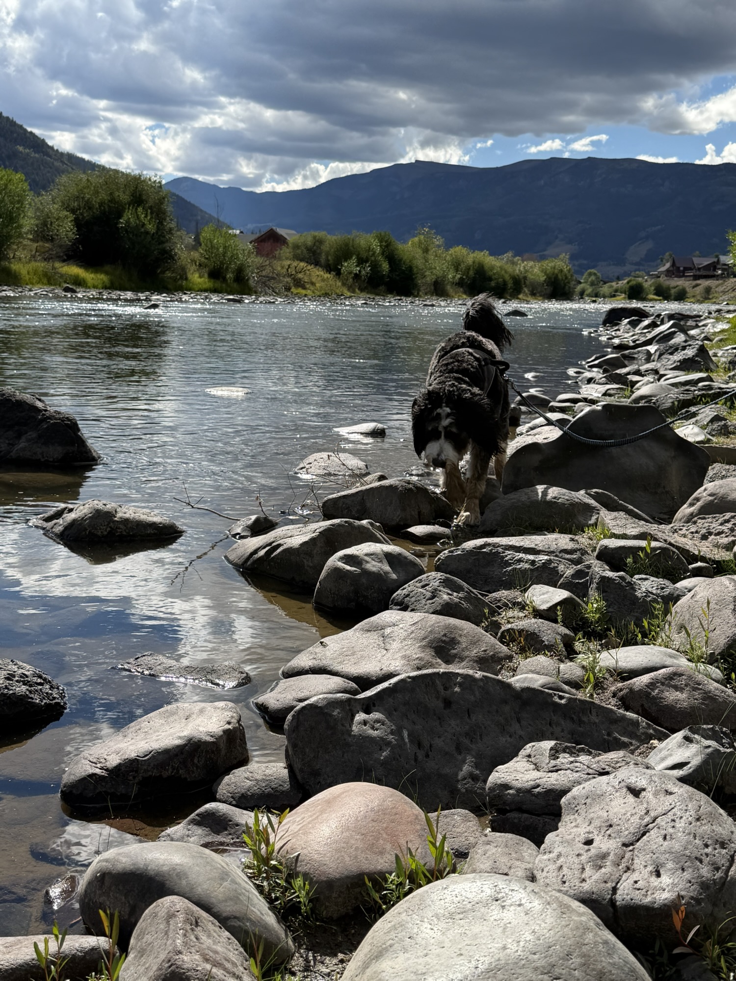
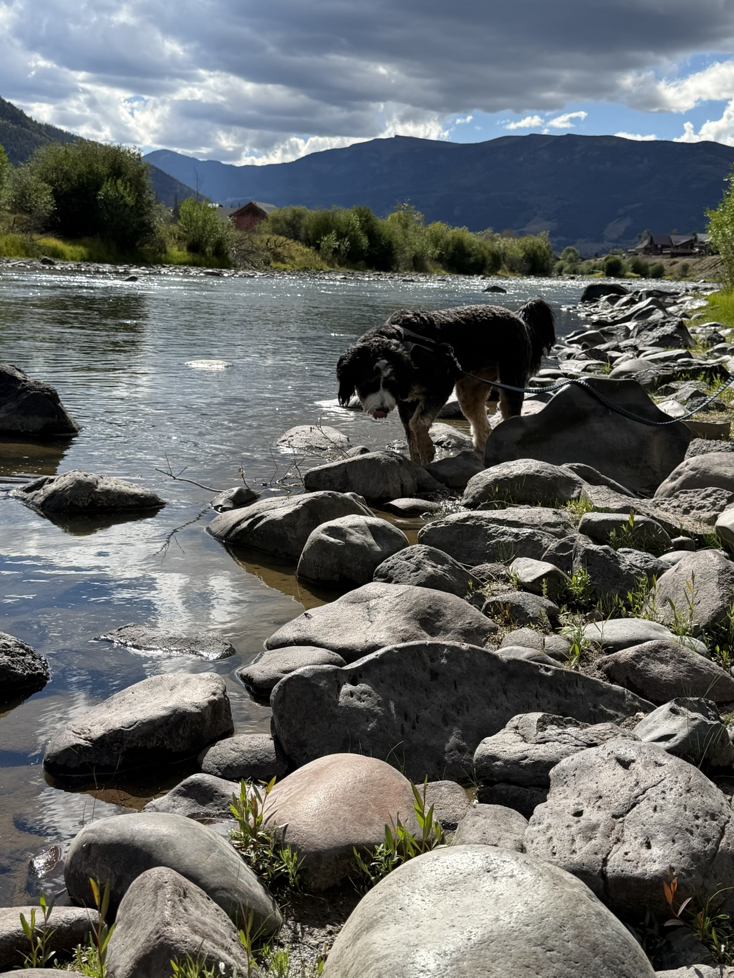
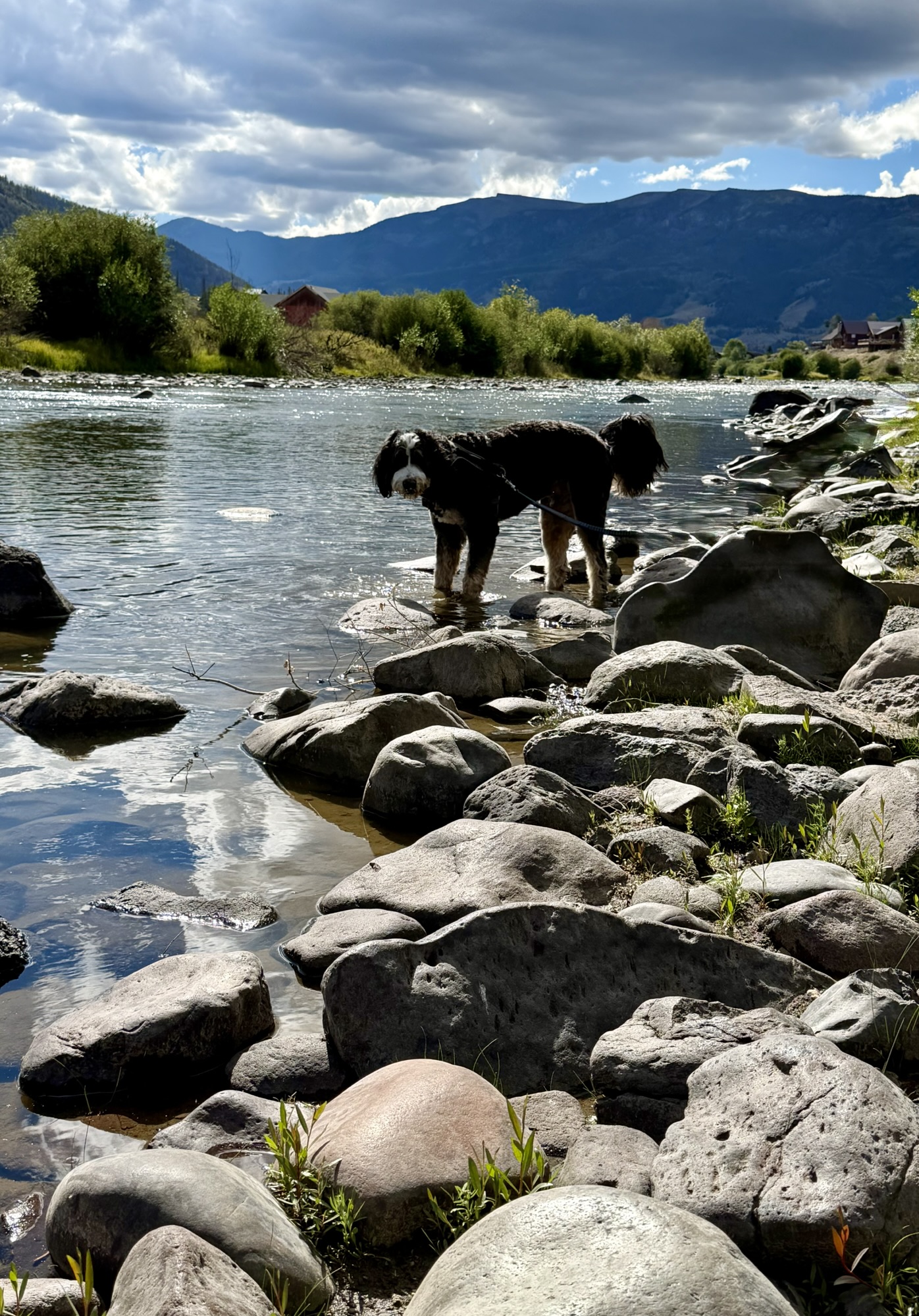
We finished our afternoon at the Creede State Wildlife Area, just beyond the entrance to our campground. There, Timber finally got his reward for patiently riding along—an opportunity to romp among the rocks and splash in the cold waters of the Rio Grande.
A Final Dinner Along the River
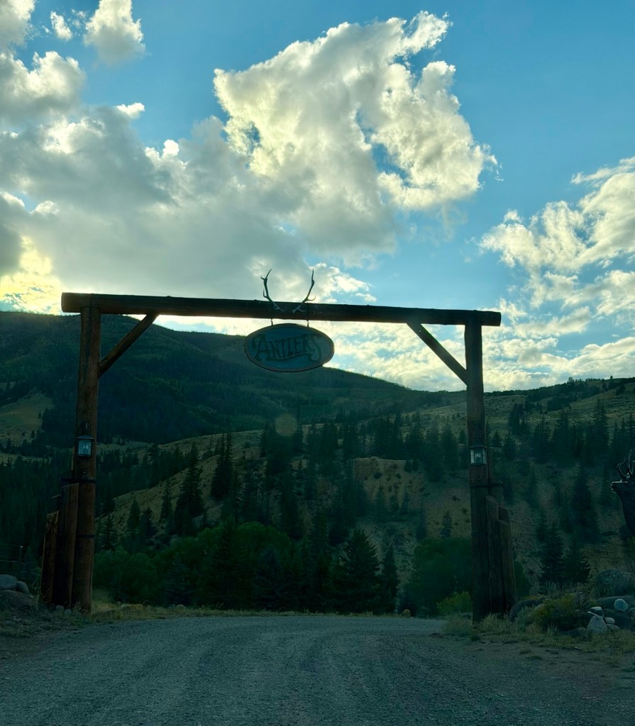
For our final evening in Creede, we made reservations at The Antlers, a riverside restaurant and lodge less than four miles from our campground along Highway 149.
We were surprised by how busy both the restaurant and lodge were so late in the season. Many businesses in Creede operate only from approximately May through early October, so we expected things to be winding down.
We chose to sit inside because I was afraid dining on the deck might be a little too chilly. However, the double doors between the dining room and deck were open, and the outdoor heaters cast plenty of warmth into the space. Although we were not seated directly beside the river, we could still hear the water rushing past.
The restaurant had the unmistakable ambiance of a traditional hunting and fishing lodge, but the hostess, manager, bartender and waitstaff made everyone feel welcome—regardless of whether they had ever held a fishing rod or tracked anything other than their missing car keys.
Mark followed the bartender’s recommendation and ordered the osso buco, while I chose the local river trout. We thoroughly enjoyed both the meal and the atmosphere.
Creede will remain on our list of places worth revisiting whenever our travel routes bring us through this part of Colorado.
Onward to Moab
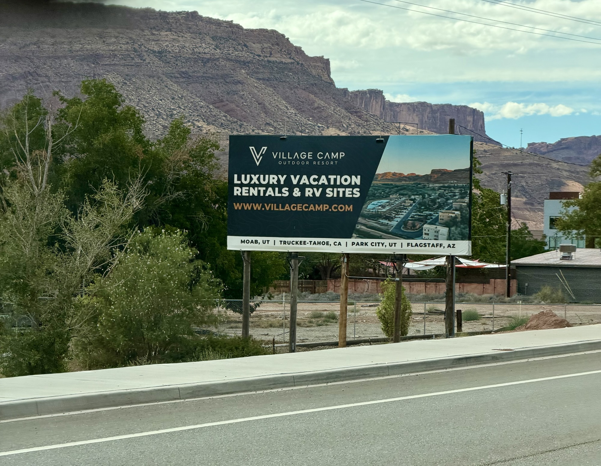
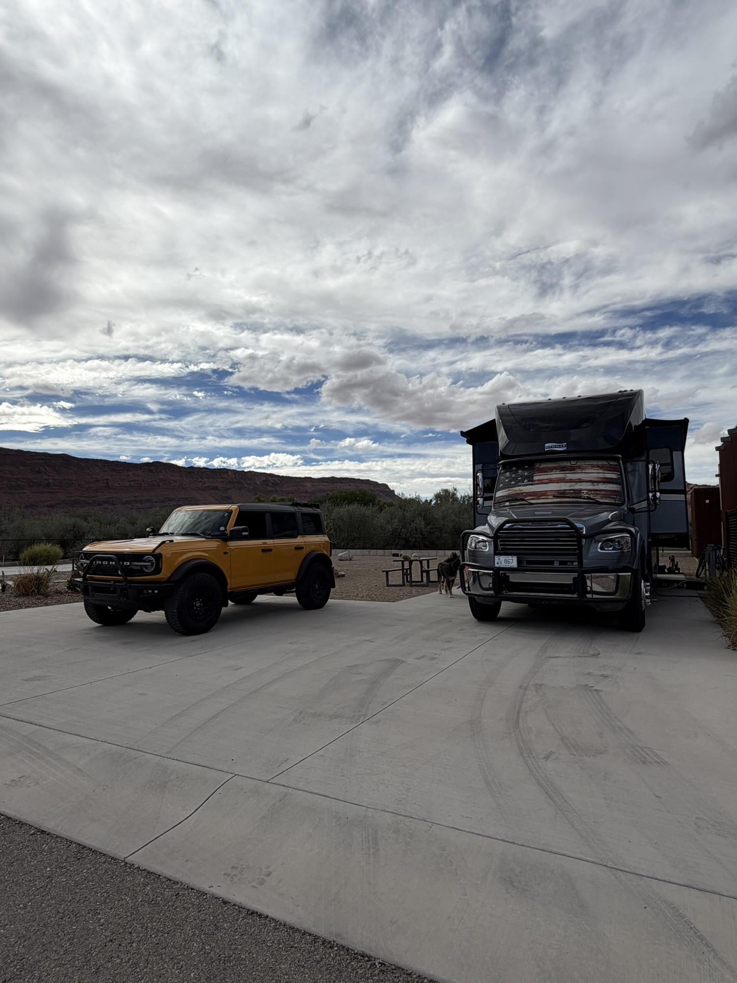
The 5½-hour drive from Creede to Moab was pleasantly uneventful, and we arrived at Village Camp Moab with enough time to get Jackson settled and enjoy a dip in the pool.
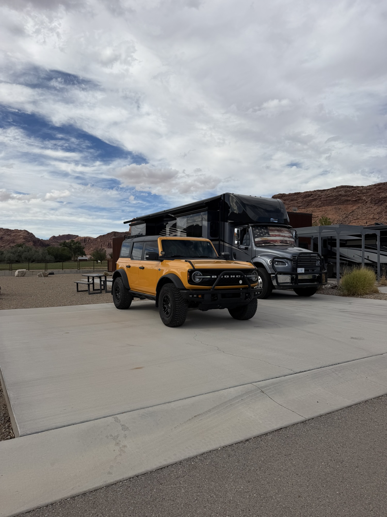
We worked each morning but reserved our afternoons for exploring with Timber and Cheeto.
The stunning scenery inside Arches and Canyonlands National Parks is certainly worthy of multiple visits. However, dogs are not allowed on most trails—or even away from paved areas—which makes spending long days inside the parks difficult for us.
Fortunately, Moab is surrounded by thousands of acres of dog-friendly Bureau of Land Management property, state parks and national forests offering many of the same awe-inspiring red-rock vistas. Since we had previously explored both national parks, we decided to focus this visit on the surrounding public lands.
Armed with our trusty FunTreks Guide to Moab, Utah Backroads & 4-Wheel-Drive Trails, Fourth Edition, we were ready to see what Cheeto could do.
Looking Glass Road and Needles Overlook
For our first afternoon outing, we traveled approximately 22 miles south of Moab on Highway 191 before turning onto Looking Glass Road. This relatively easy, green-rated trail eventually led us to Needles Overlook, located just south of the Needles District of Canyonlands National Park but still on BLM land.
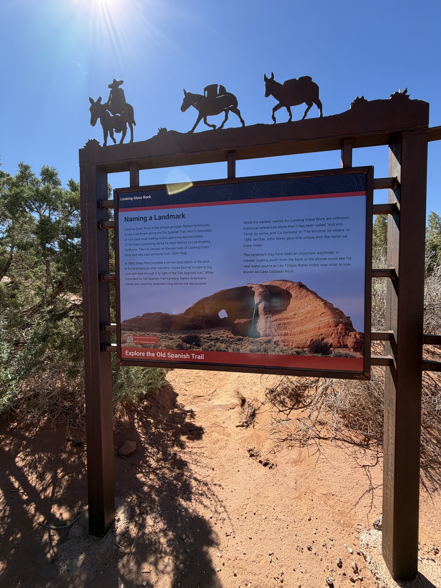
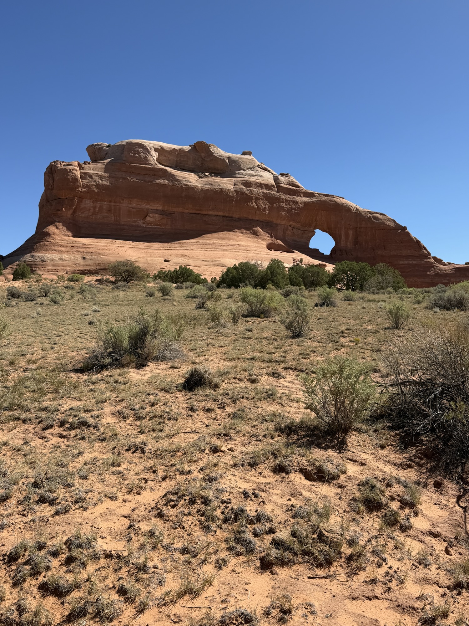
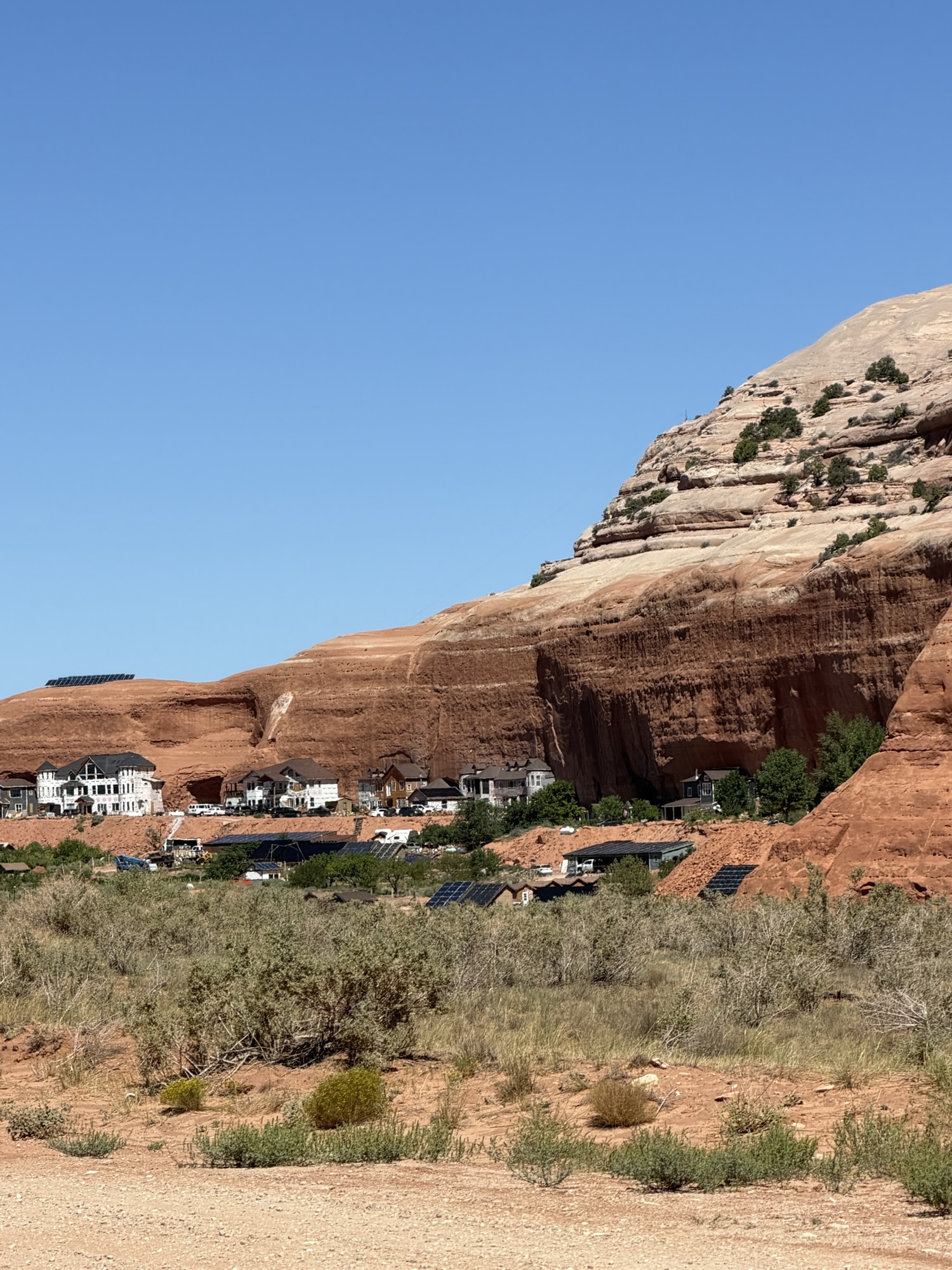
Along the way, we made several side trips to see Looking Glass Rock, abandoned dwellings built into the rock, a modern-day community of “cliff dwellers” and Jailhouse Rock.
As with many places in the West, Jailhouse Rock comes with more than one story explaining its name. According to one version, a local sheriff used the deep opening in the rock as a temporary jail cell. Another claims that a man placed his wife inside the rock to keep her safe while he went out drinking and carousing.
I’m not sure “safe” is the word I would have chosen, but apparently standards were different then.
The views from Needles Overlook were magnificent. From high above, we could see miles of colorful canyons, sandstone spires and rugged formations stretching across the landscape.
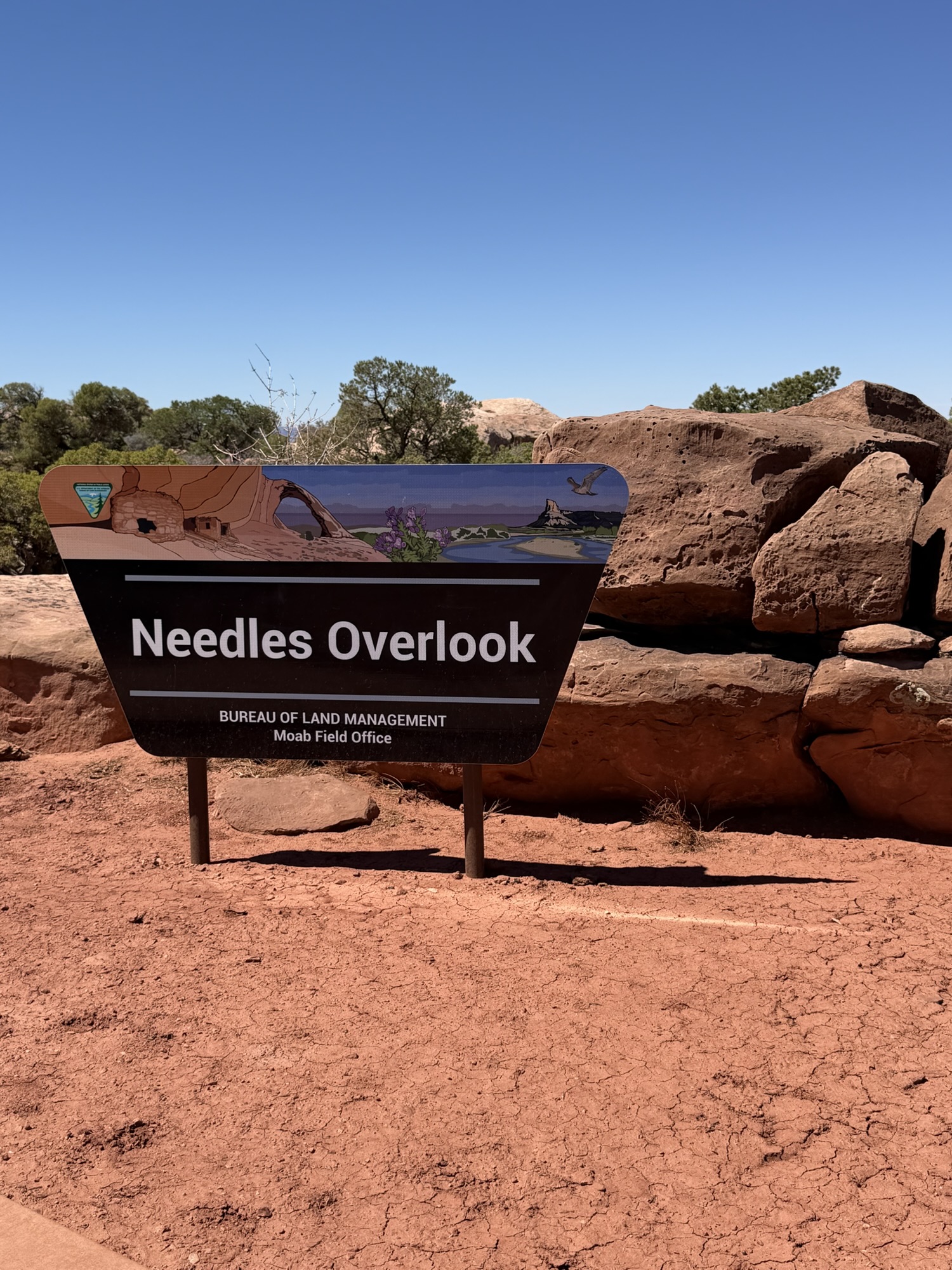
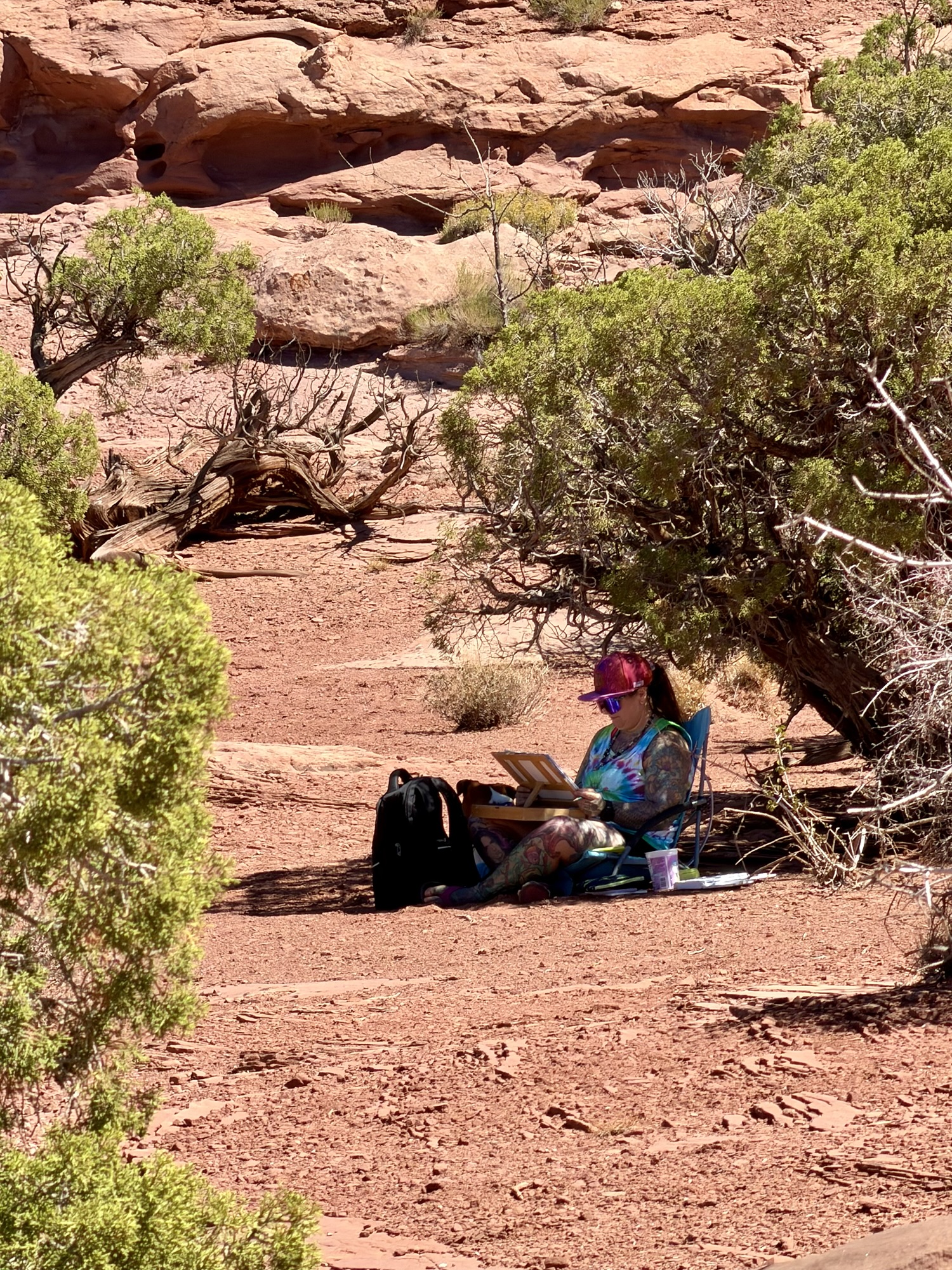
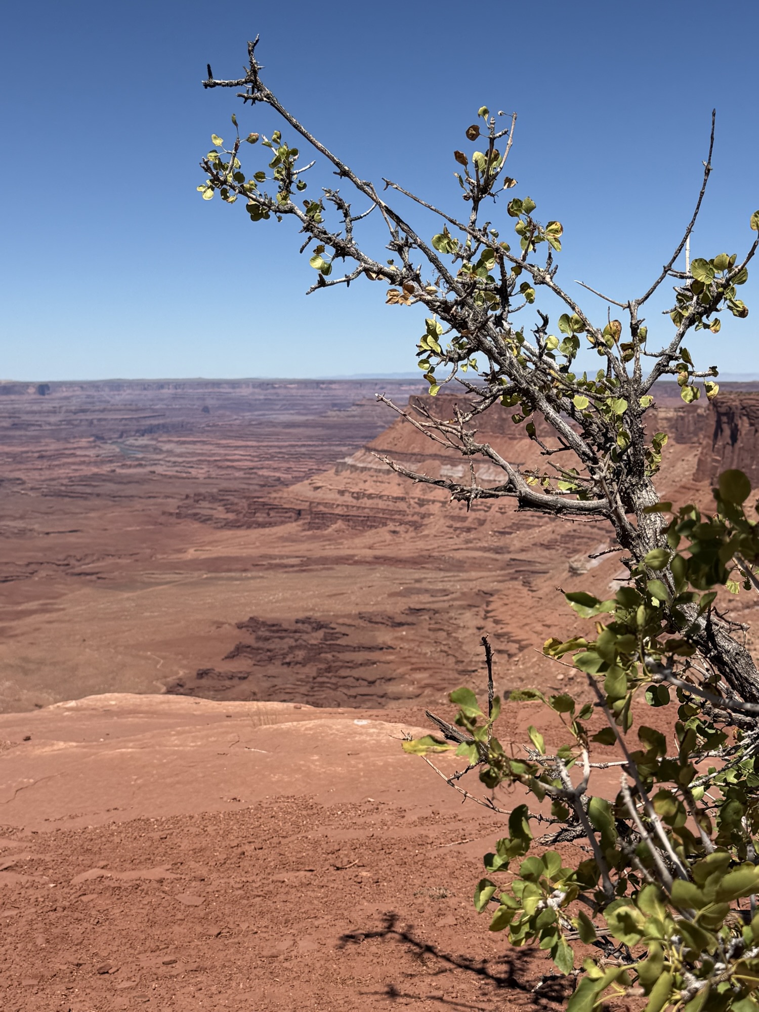
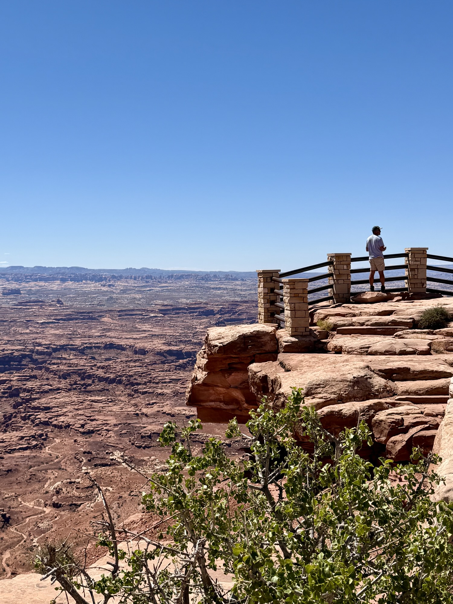
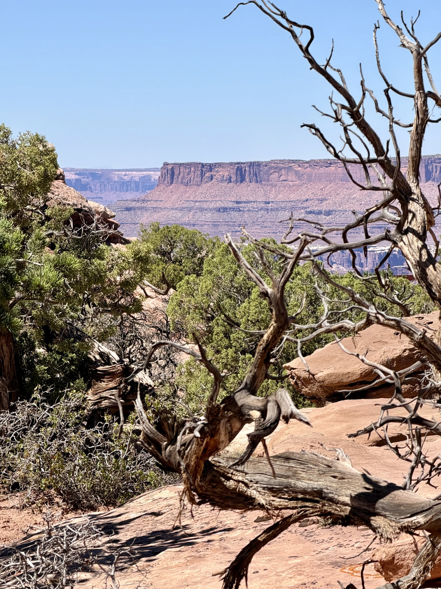
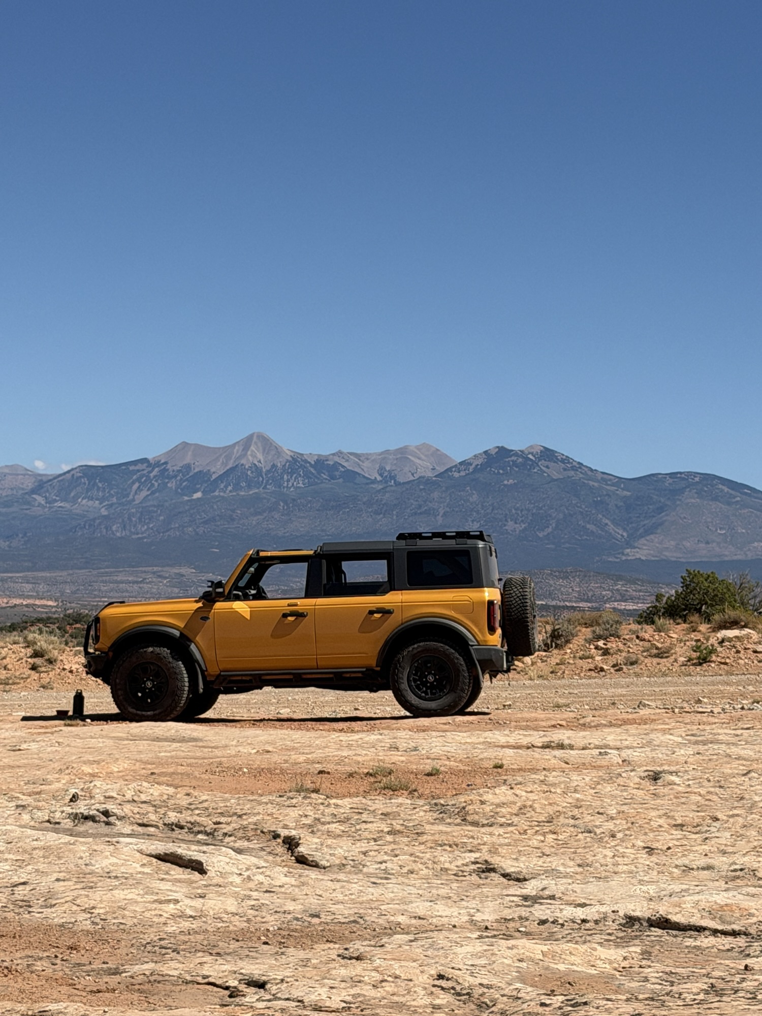
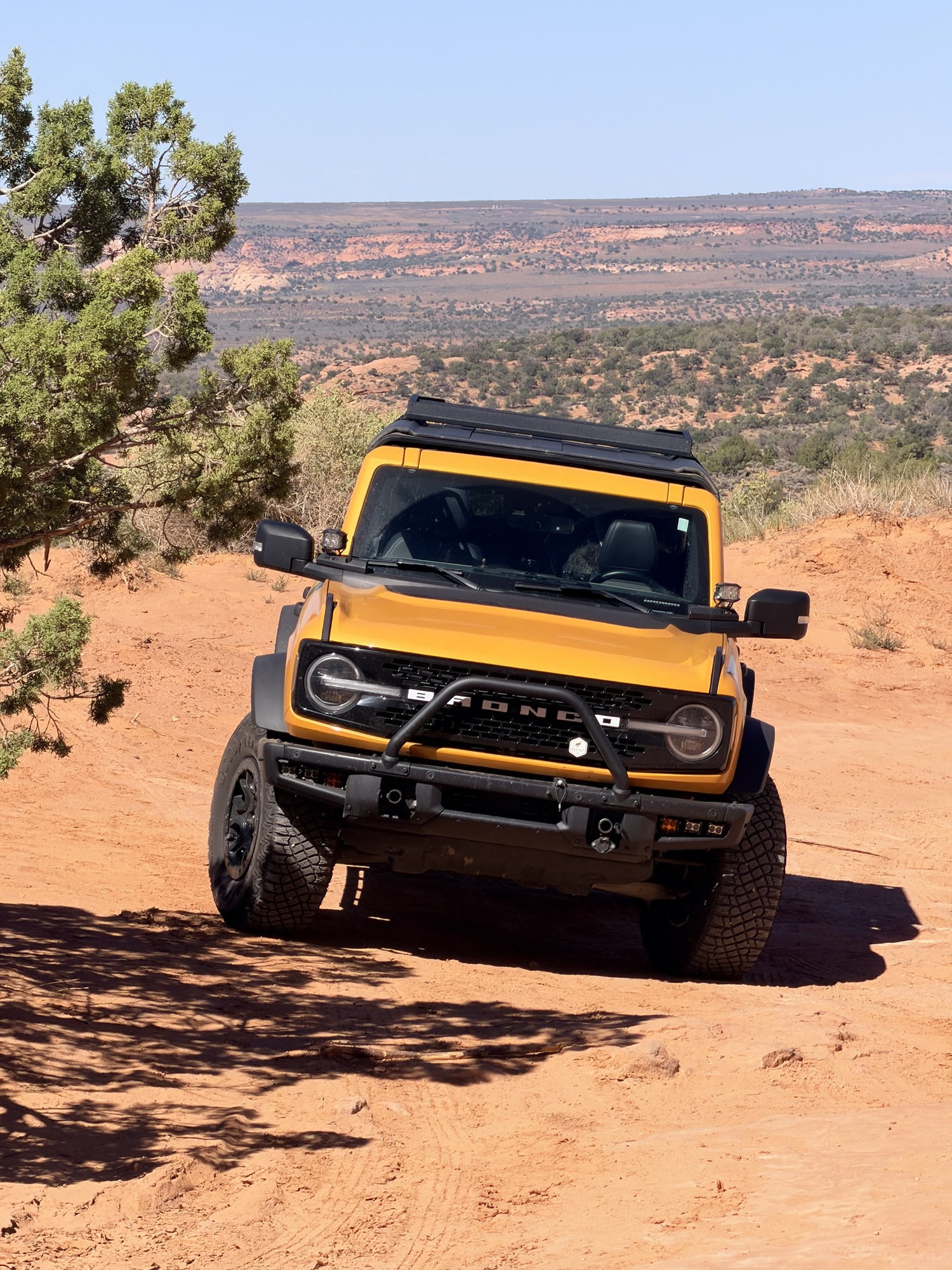
More images below from our day of exploring the off-road sites: Looking Glass Rock, abandoned cave houses, shots of Timber and Cheeto along the trail, and today’s meaning of “Cliff Dwellers”
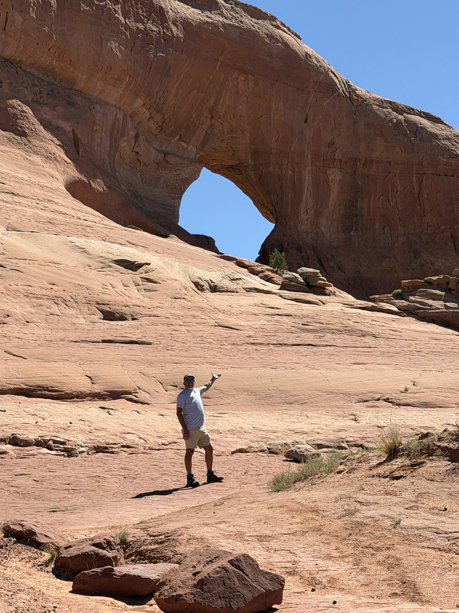
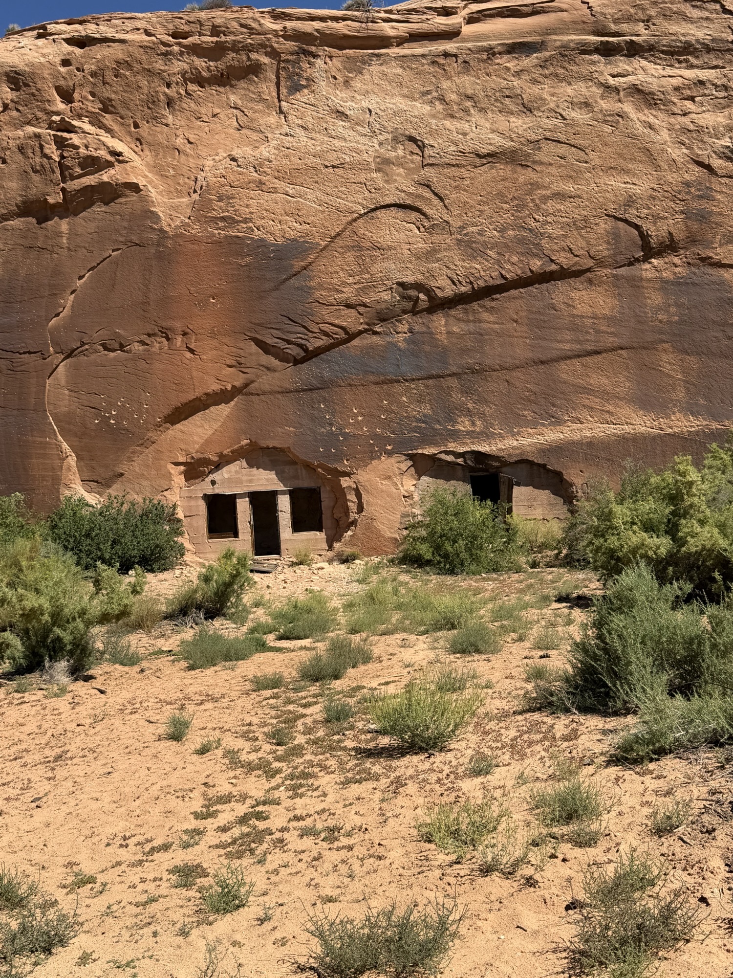
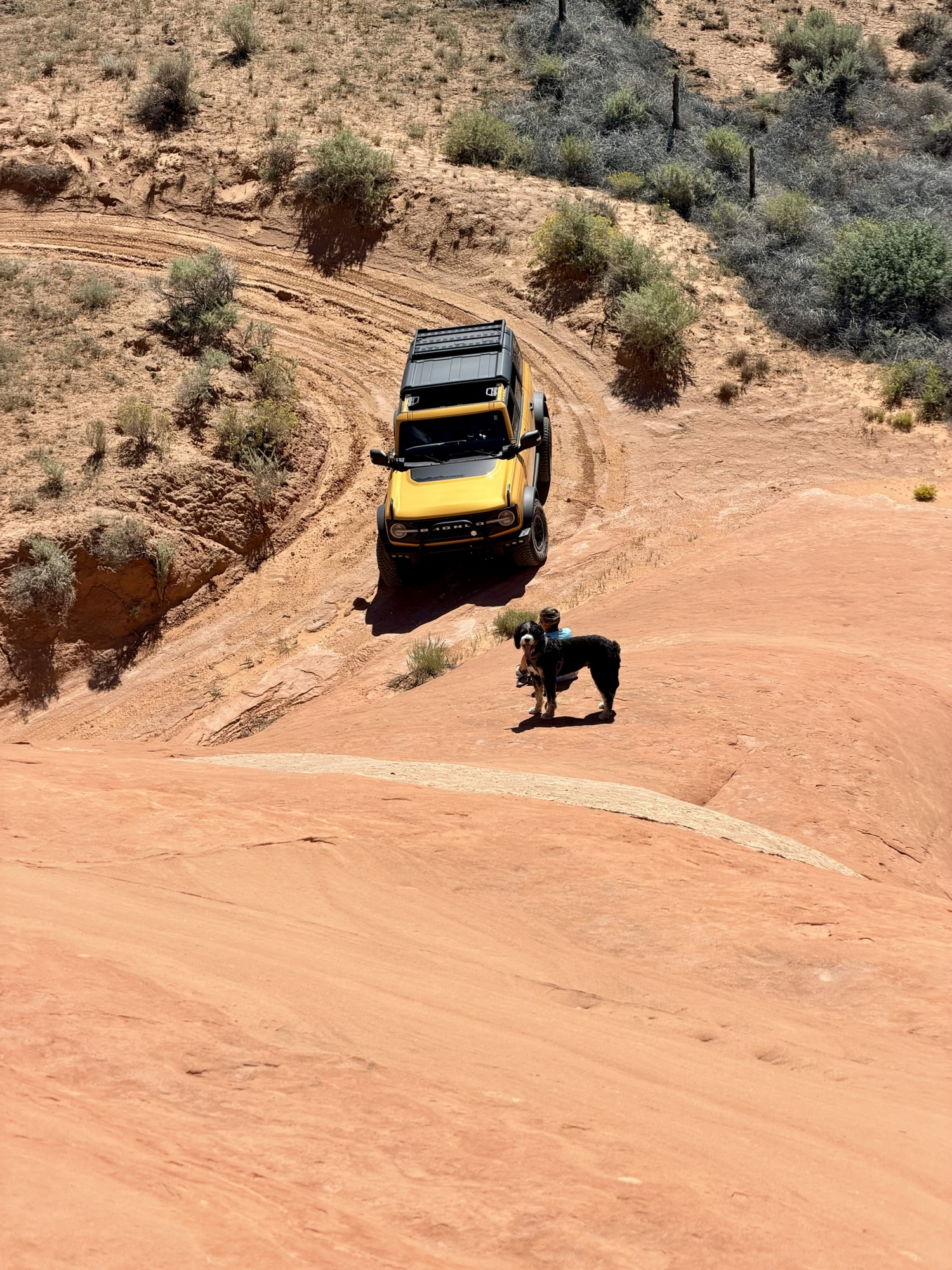
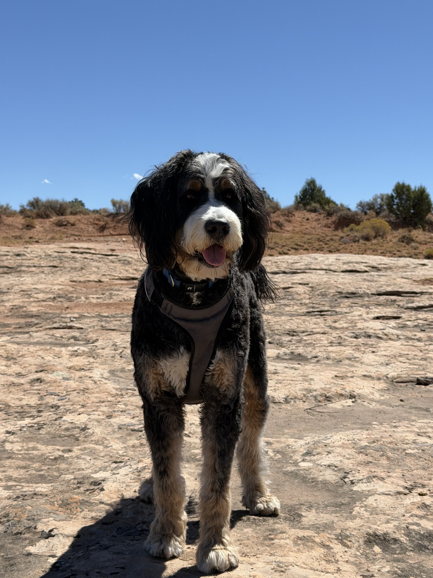
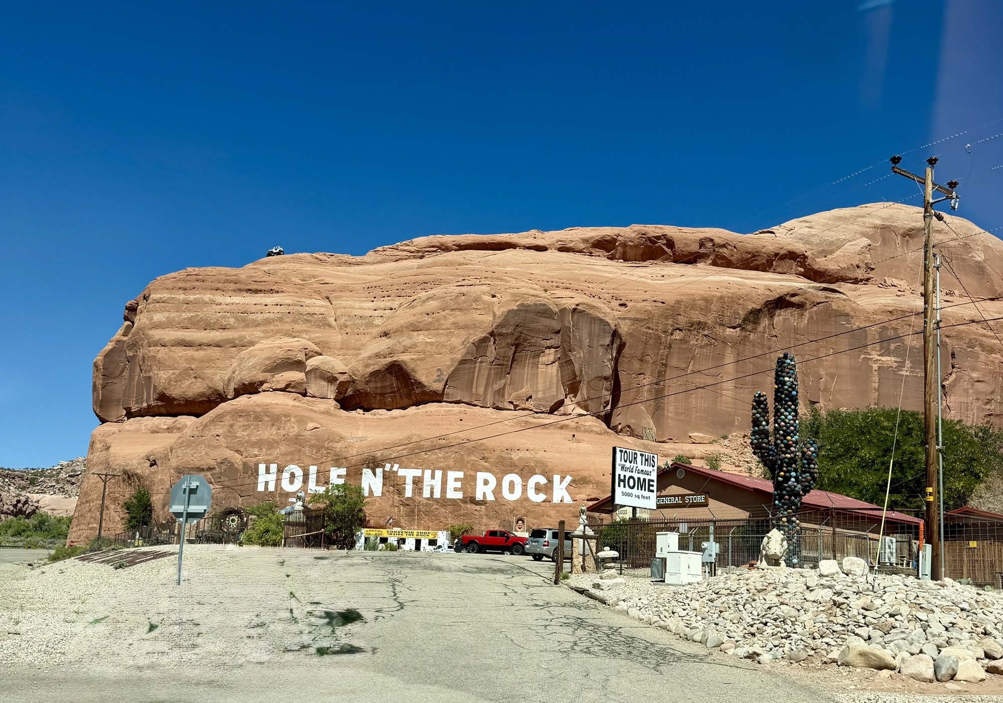
On our return trip, we stopped at the infamous Hole N” the Rock, a wonderfully quirky roadside attraction that sells a little bit of everything—including tickets to a cave tour and an on-site zoo.
It is one of those places where you stop because you are curious…and then find yourself wandering around trying to determine exactly what you have stumbled into.
Gemini Bridges Trail
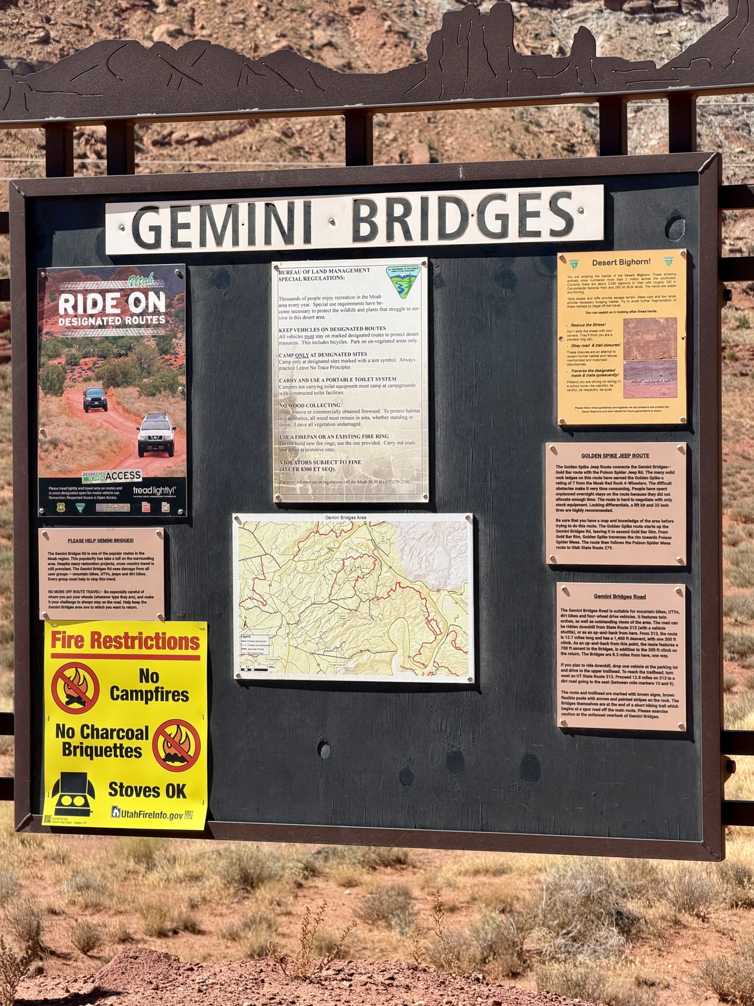
Our second off-roading adventure took us to Gemini Bridges Trail, another green-rated route beginning approximately eight miles north of Moab along Highway 191.
Within the first two miles, we found ourselves climbing along a high, winding shelf road with incredible views over the surrounding canyons. It looked dramatic from Cheeto’s windows, but thankfully it was nowhere near as harrowing as the Shafer Switchbacks we tackled while leaving Canyonlands last year. You can read more about that particular misadventure in our previous post, Exploring Moab: A Guide to Misguided Adventures.
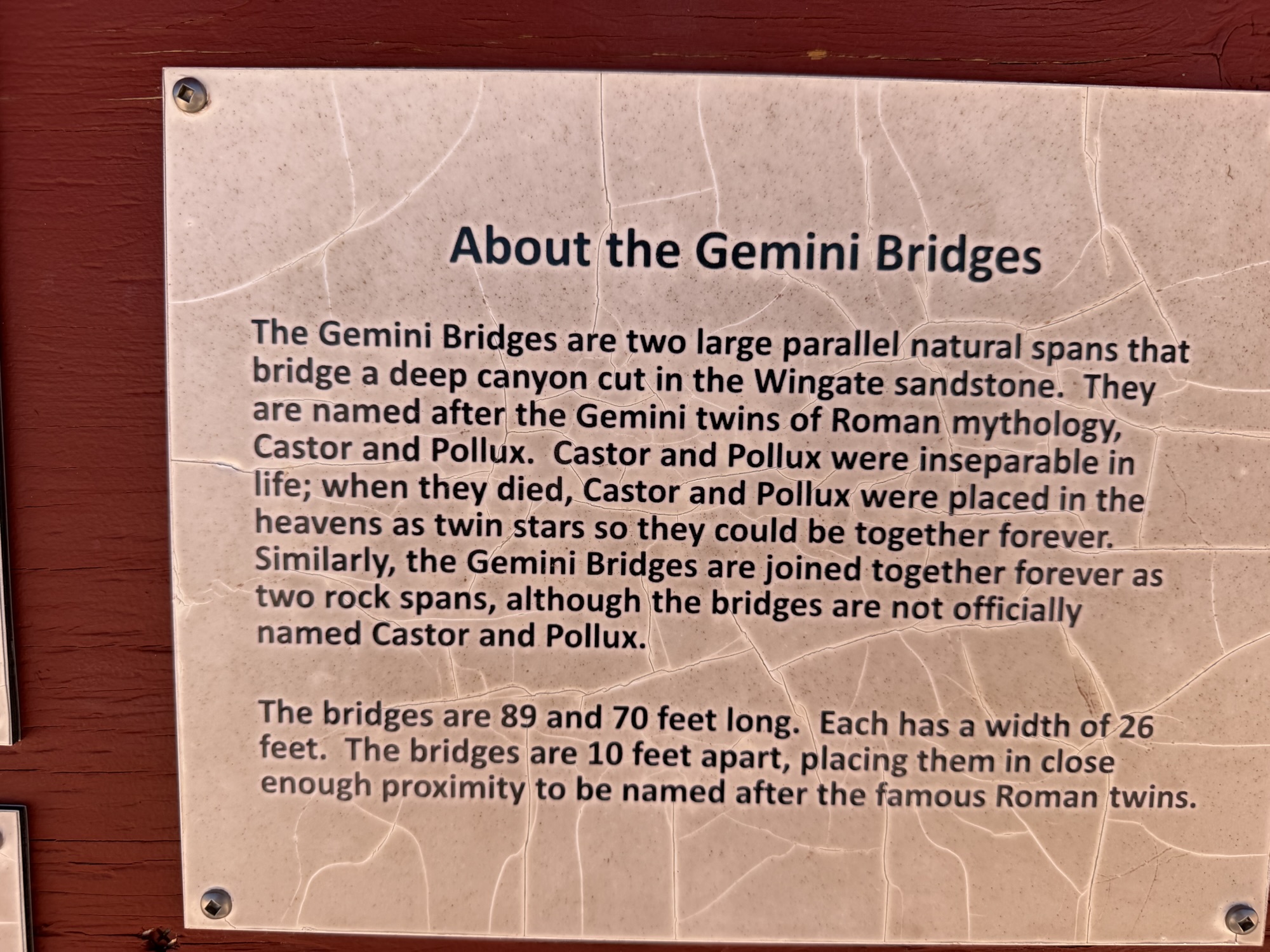
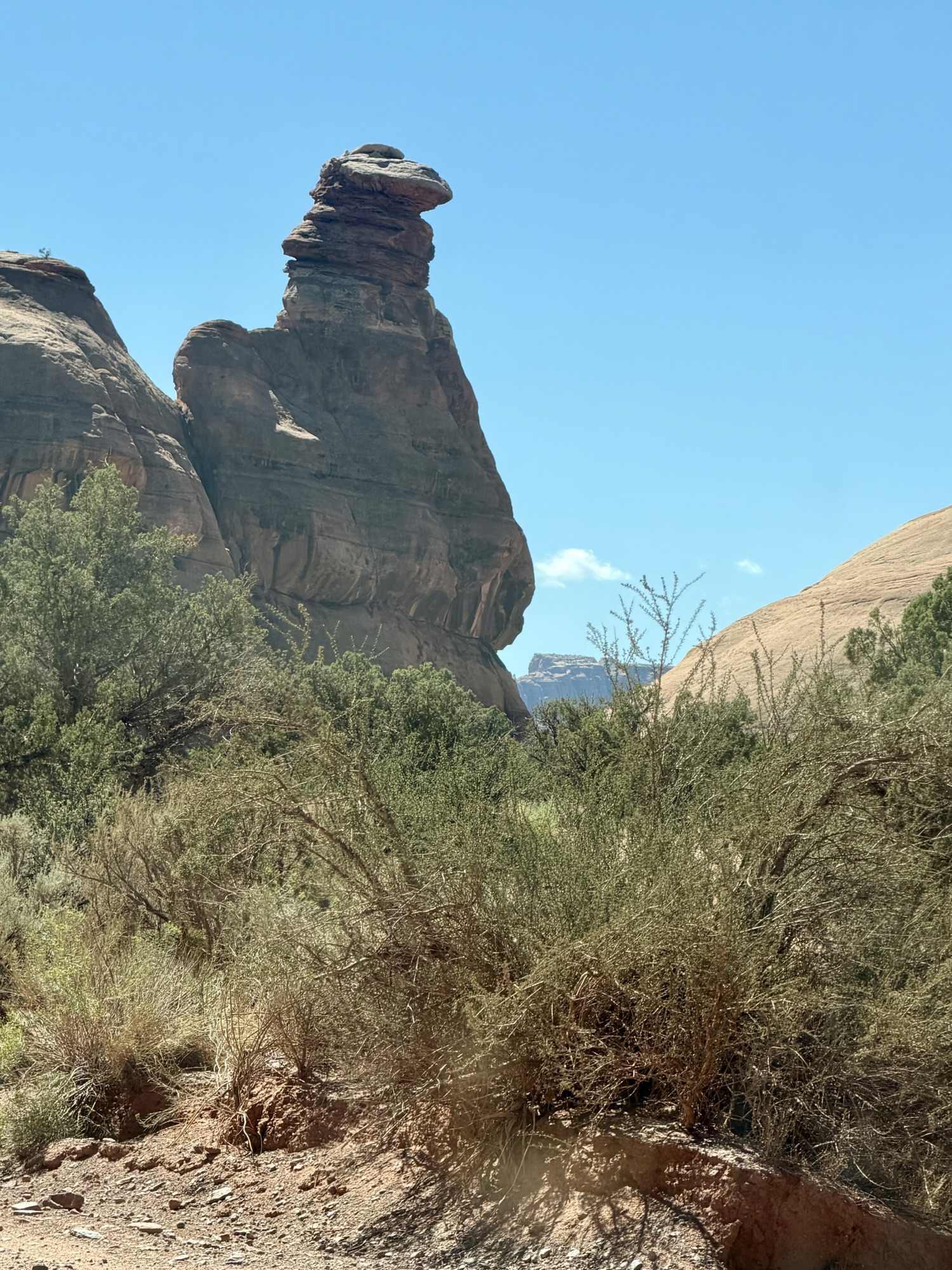
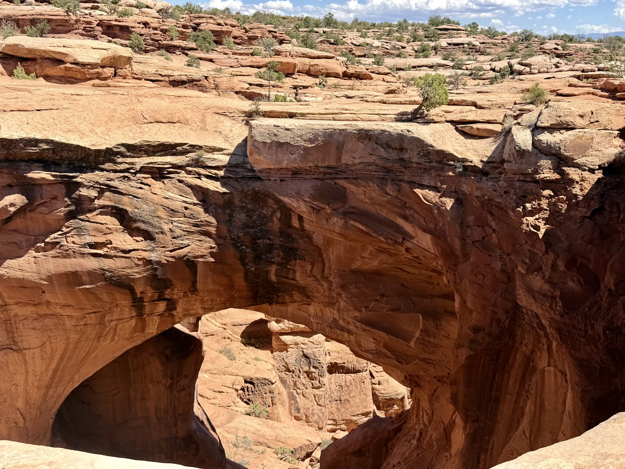
We stopped along the way to investigate several distinctive formations, including double arches near a designated camping area and Gooney Bird Rock. We also spent time walking around the Gemini Bridges, two natural sandstone spans positioned side by side above the canyon floor.
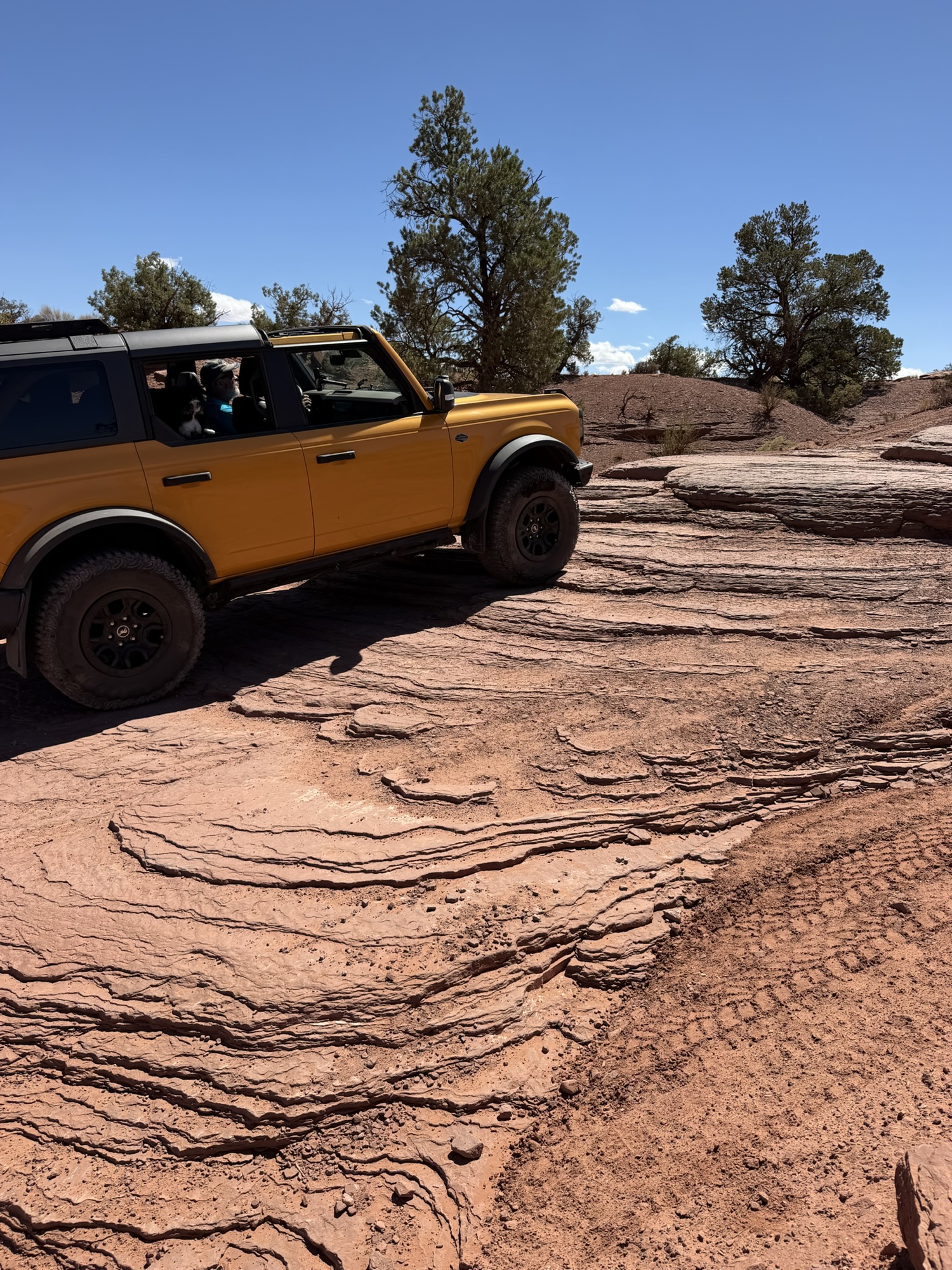
Although the trail itself was only about 13 miles long, distance is misleading when off-roading around Moab. Crawling carefully over rocks, maneuvering through thick sand and stopping to investigate the formations meant the outing still took several hours.
Most of our trail adventures required three to five hours—and every one of those hours gave us something worth seeing.
Hell Roaring Canyon and Deadman Point
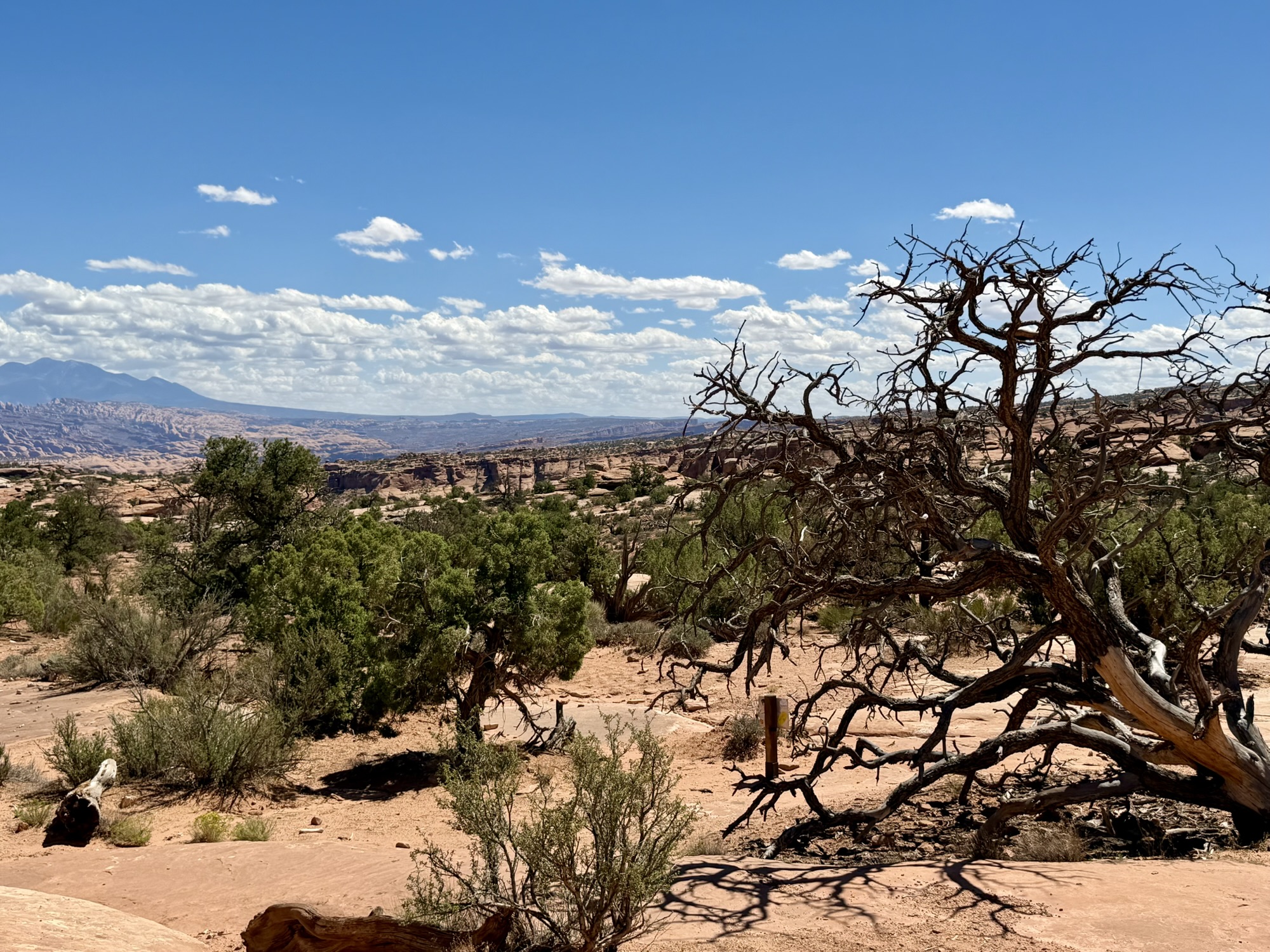
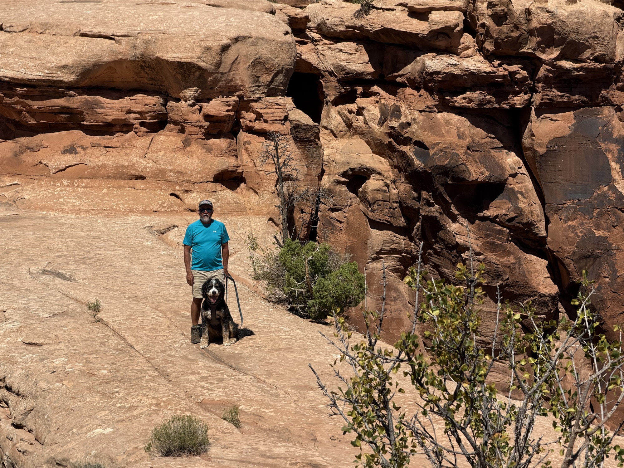
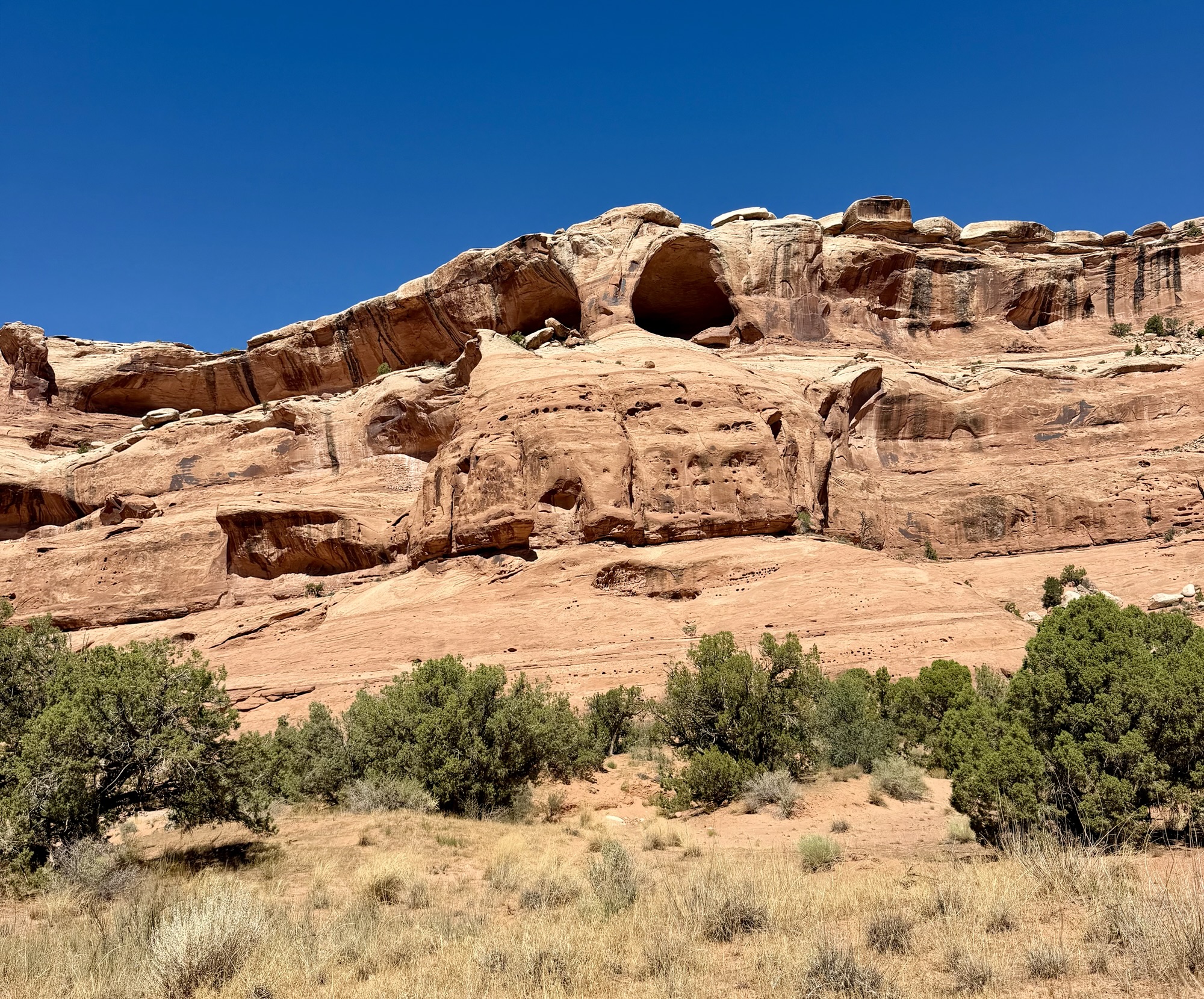
Our third day of green-trail exploring took us to the opposite side of Canyonlands National Park and Dead Horse Point State Park, into the area surrounding Hell Roaring Canyon.
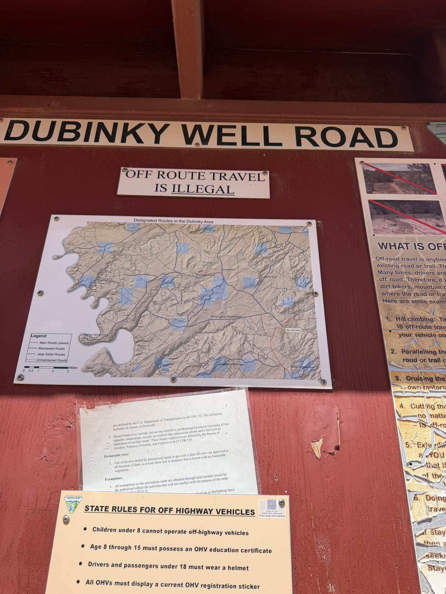
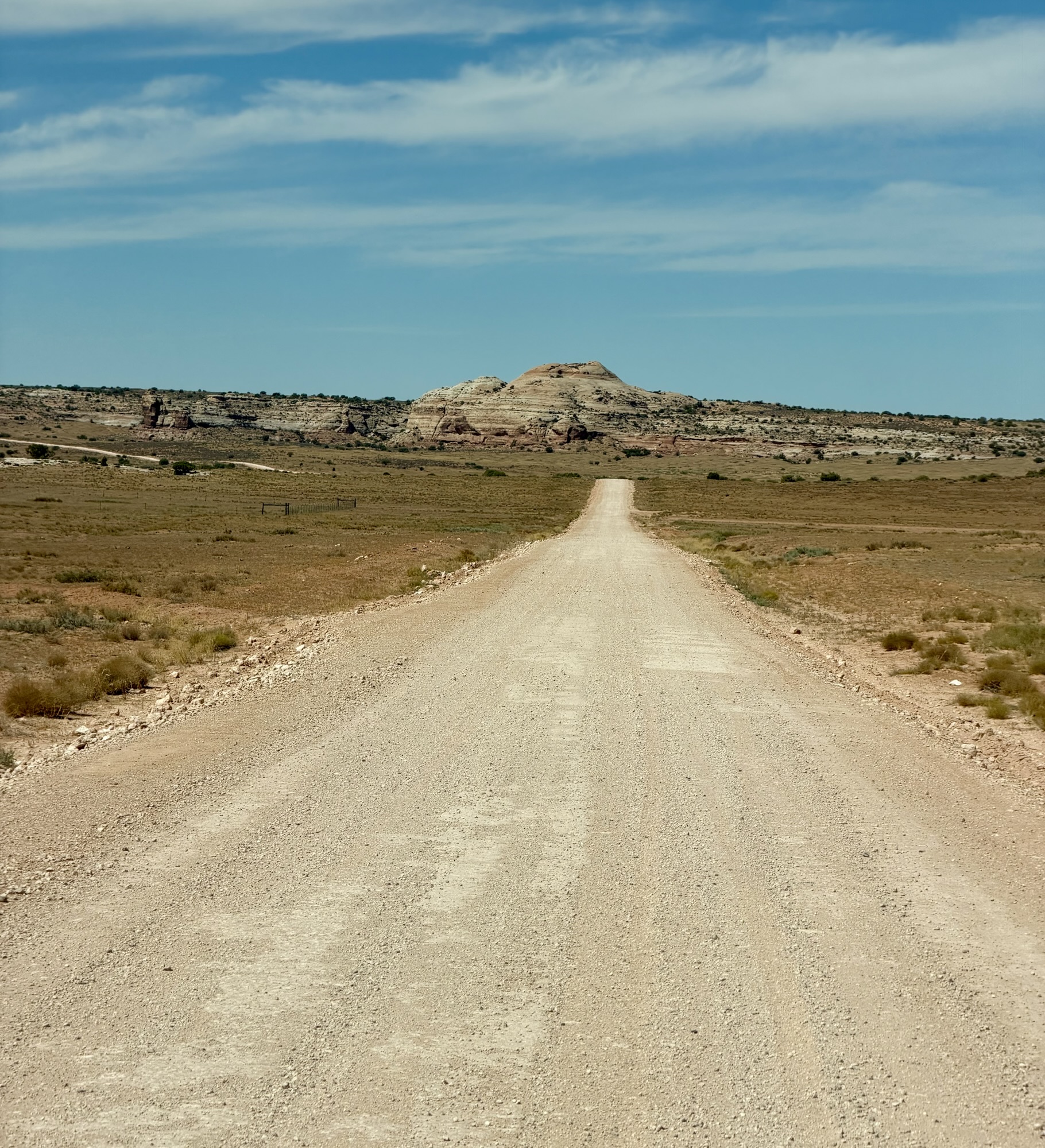
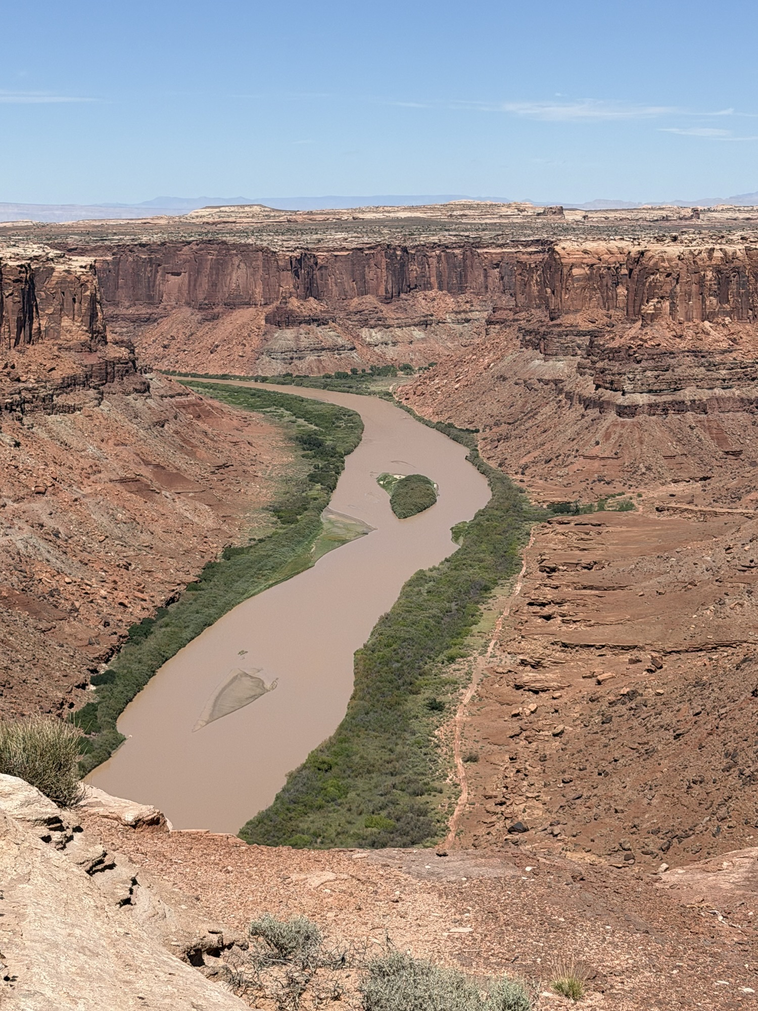
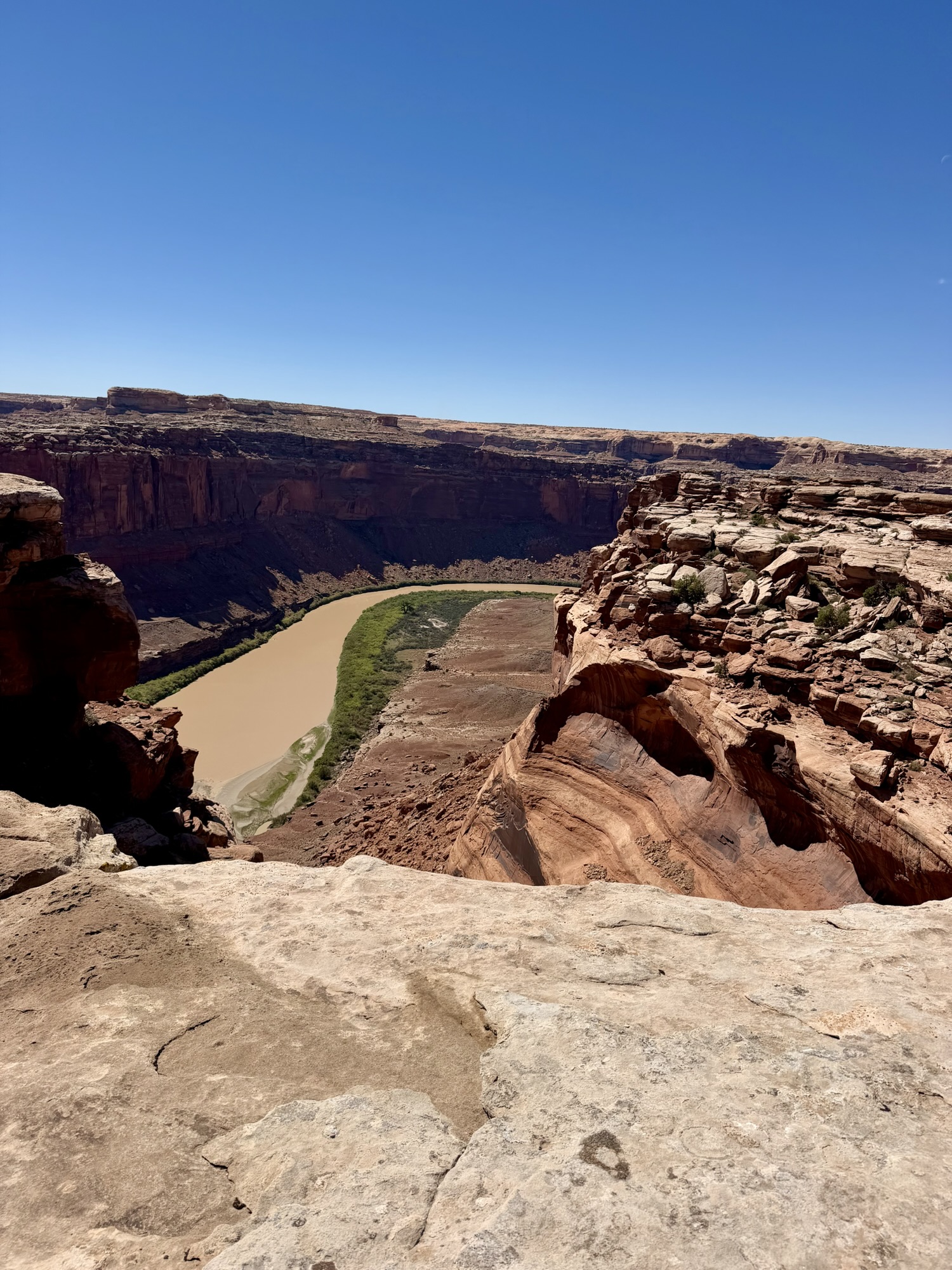
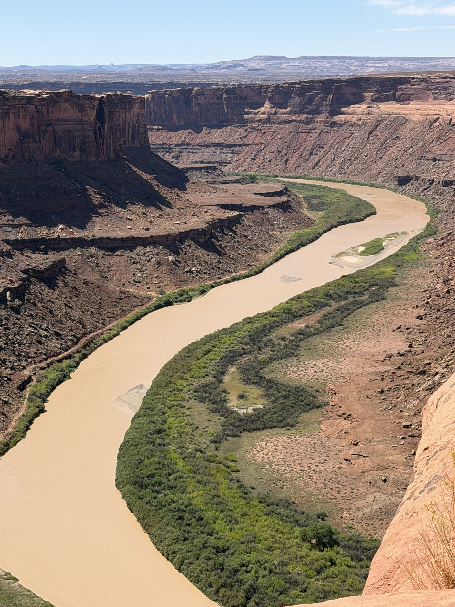
We began on Spring Canyon Bottom Road before veering onto Deadman Point Trail, which follows the canyon rim and provides sweeping views of the Green River far below.
According to local lore, Deadman Point received its name after a Spanish sheepherder fell approximately 100 feet from one of the canyon cliffs in 1927 while searching for lost sheep. The story is certainly grim, but the name feels entirely appropriate when you are standing near the edge looking down.
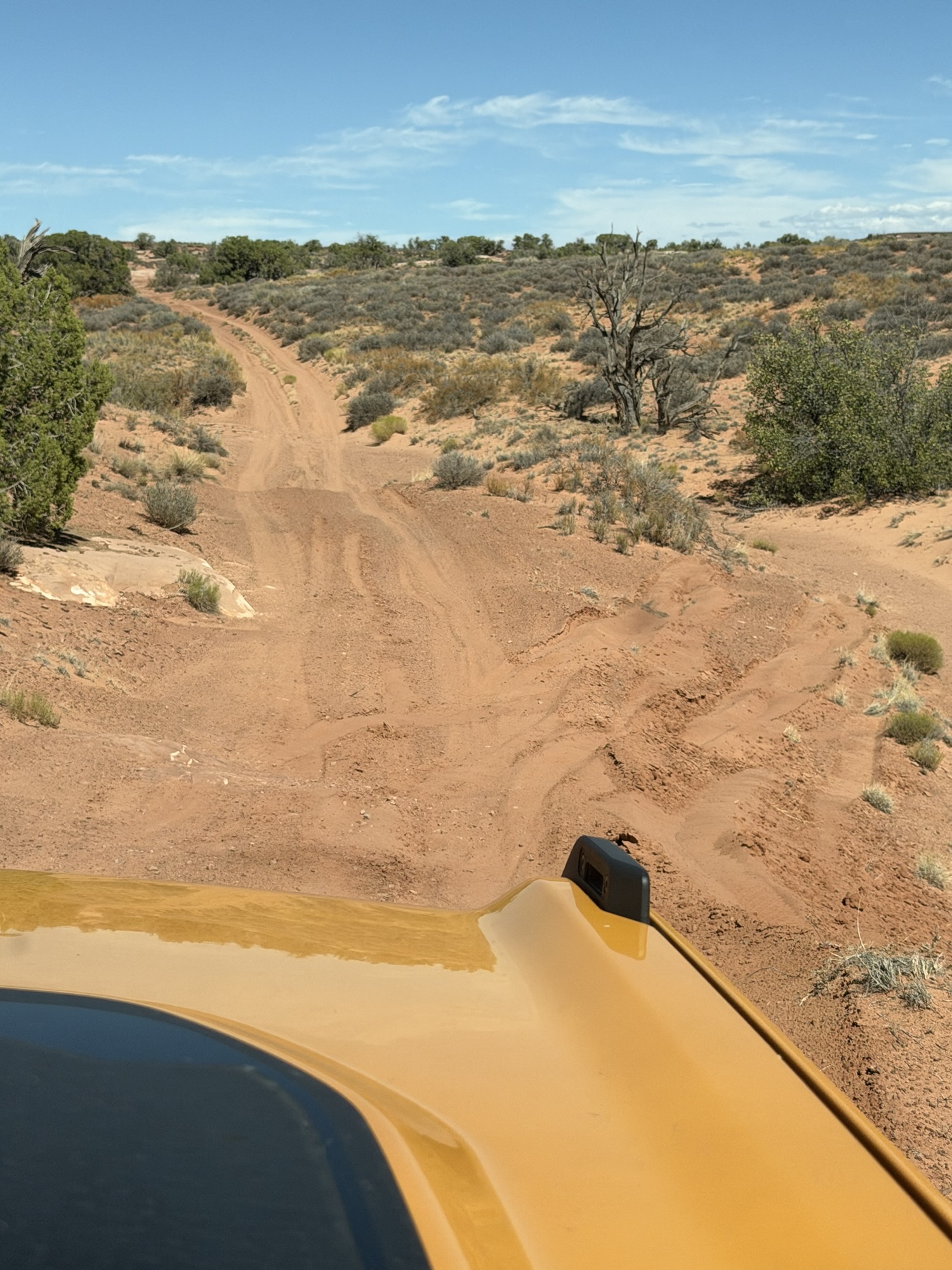
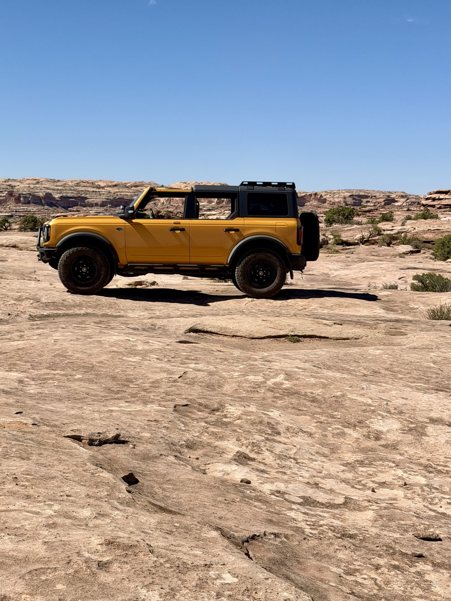
This supposedly “easy” trail turned out to be our most challenging drive thus far. We needed four-wheel drive in several places to push through deep sand and climb over rocky sections. Nothing was beyond Cheeto’s abilities, but the trail required Mark to pay close attention and choose his lines carefully.
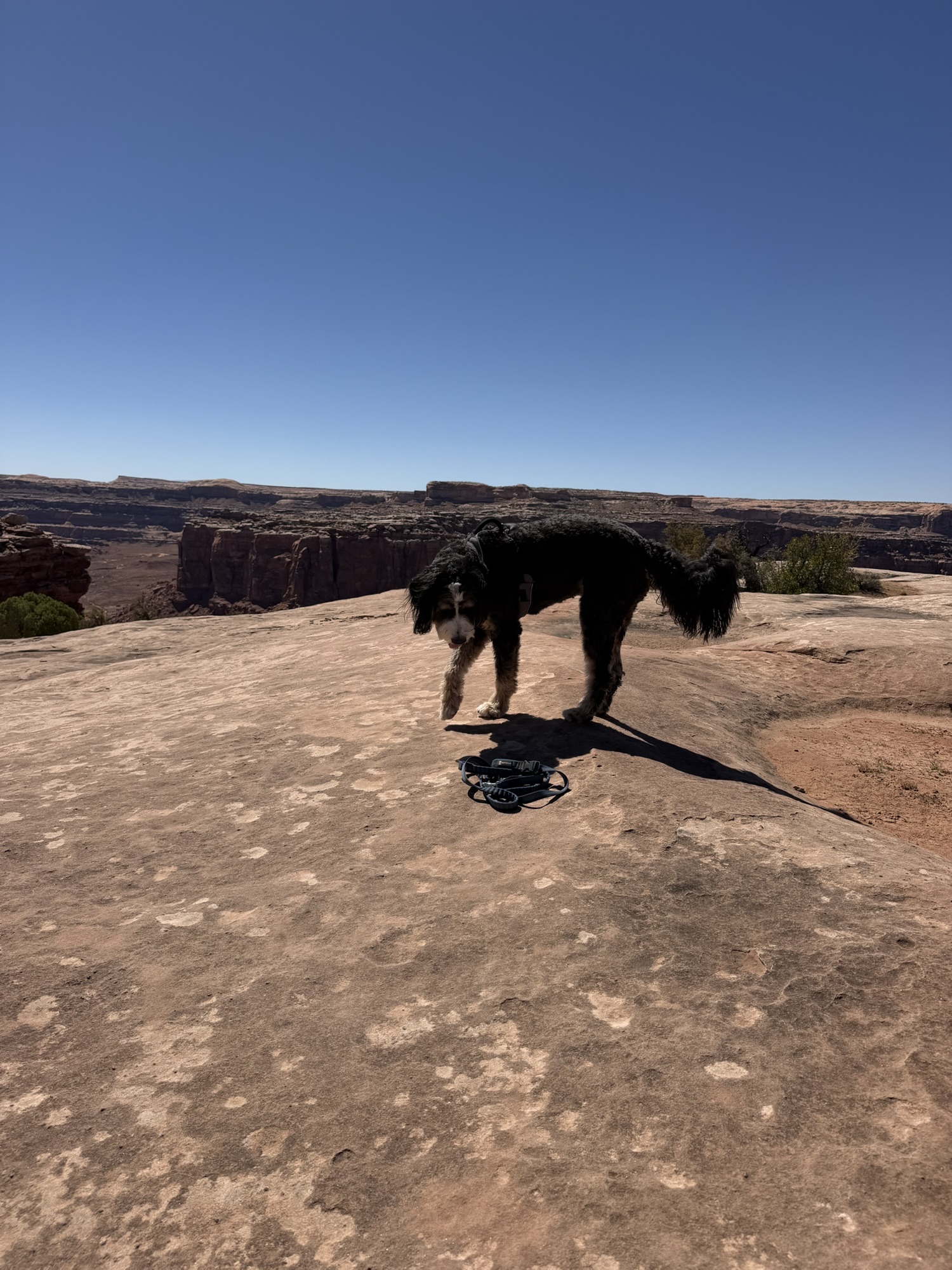
The approximately 30 miles of trails took us nearly five hours, including a lunch break and plenty of stops for photographs. With the Green River winding through the canyon below and layers of red rock stretching into the distance, it was difficult not to stop every few minutes.
Down to the Canyon Floor
After spending the previous afternoon looking down into the canyon, we decided our fourth outing should take us all the way to the river’s edge.
The day before, we had turned off Spring Canyon Bottom Road to explore Deadman Point. This time, we continued along the main trail and began the long descent to the canyon floor.
I had assumed this route would be easier than the Shafer Trail commonly used by visitors entering or leaving Canyonlands National Park. I was totally wrong.
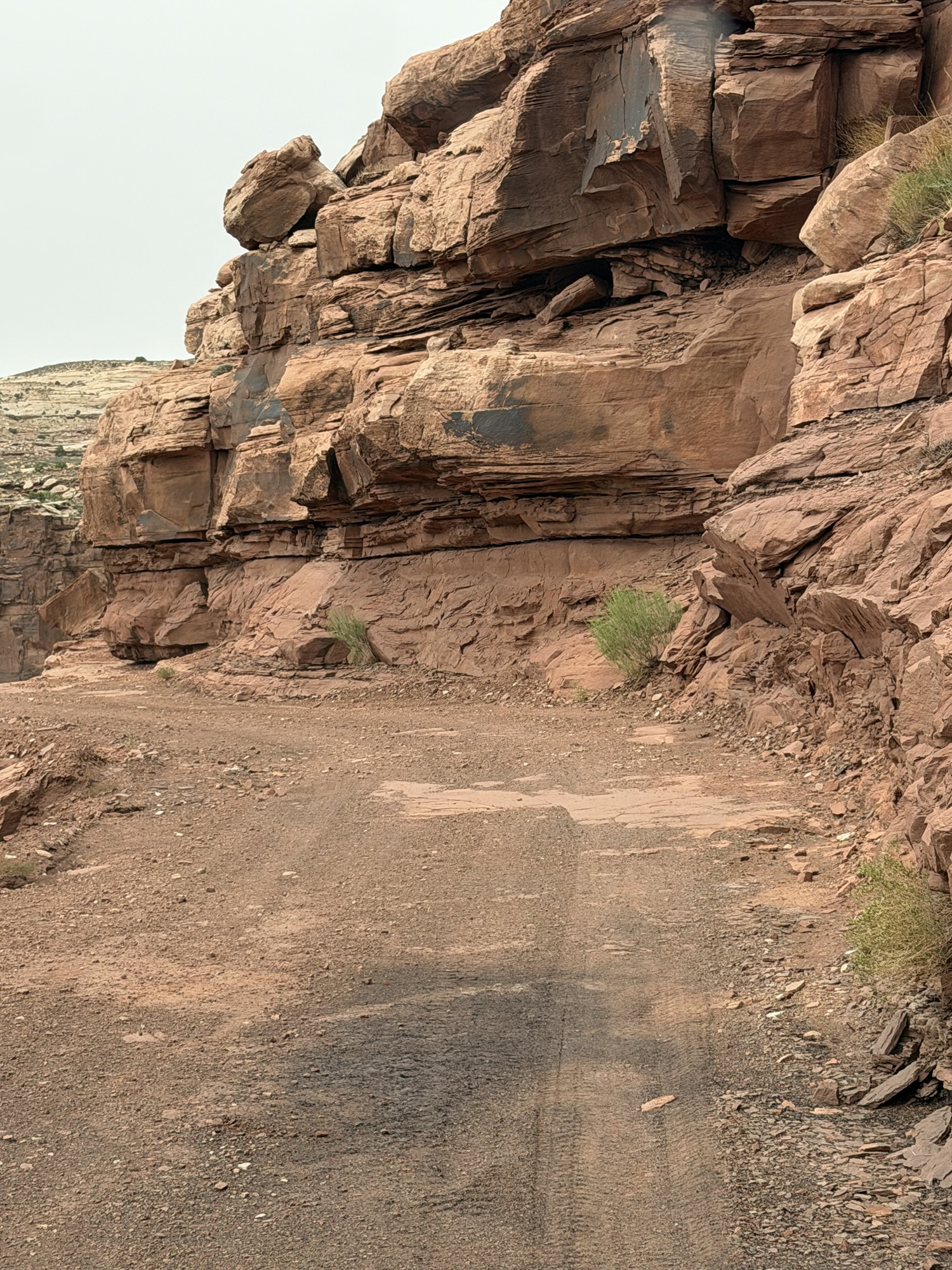
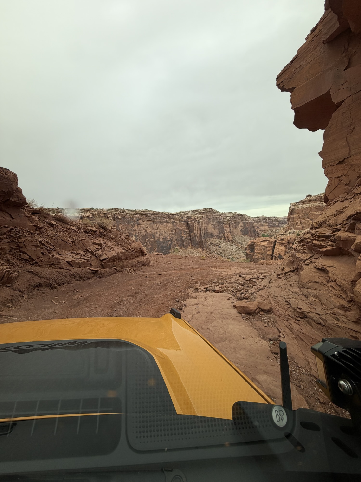
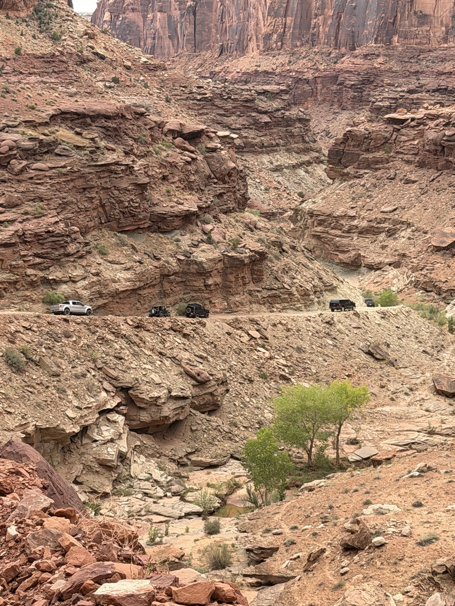
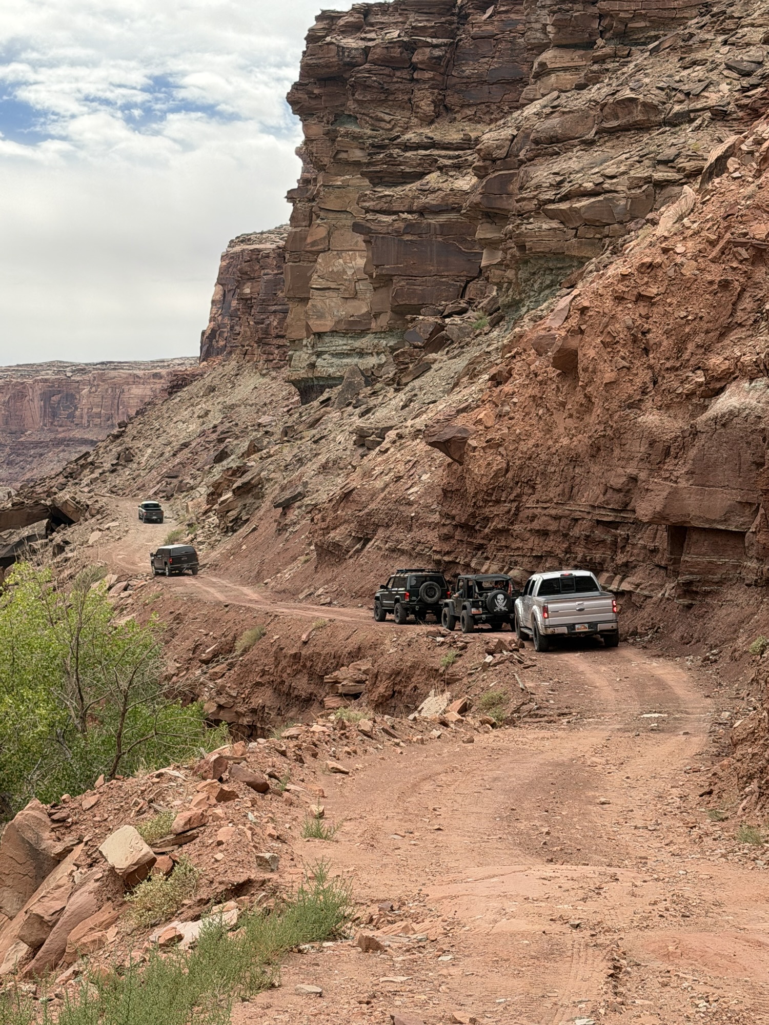
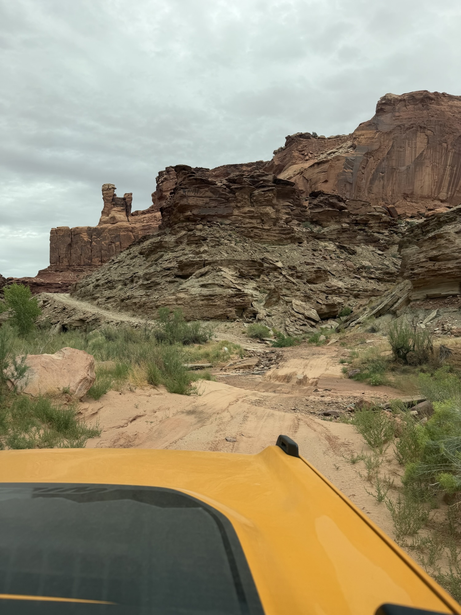
Shafer may be narrower and have more switchbacks, but it is also traveled frequently and maintained accordingly. Spring Canyon Bottom Road was in much rougher condition. We constantly worked our way around washouts—often while hugging the canyon wall—and slowly picked our way over rocks that had fallen onto the trail. Then there was one incredibly terrifying hairpin turn that I would prefer never to experience again.
Mark, of course, thought the entire drive was fun and repeatedly thanked me for choosing the trail.
I found the switchbacks to be an excellent exercise in increasing my capacity to hold my breath. It turns out I was only able to respond to Mark once I could breathe again.
We clearly interpret trail ratings differently. Mark agreed with the guidebook’s “green” rating because nothing along the route was overly technical. According to him, you simply had to travel slowly, carefully choose your lines and pay attention to where you placed the tires.
However, I maintain that if one wrong move could send us over the side of a cliff and plunging to our deaths, the trail deserves something more intimidating than an “easy green” rating.
Apparently, I need to learn how to interpret our trail guide a little better.
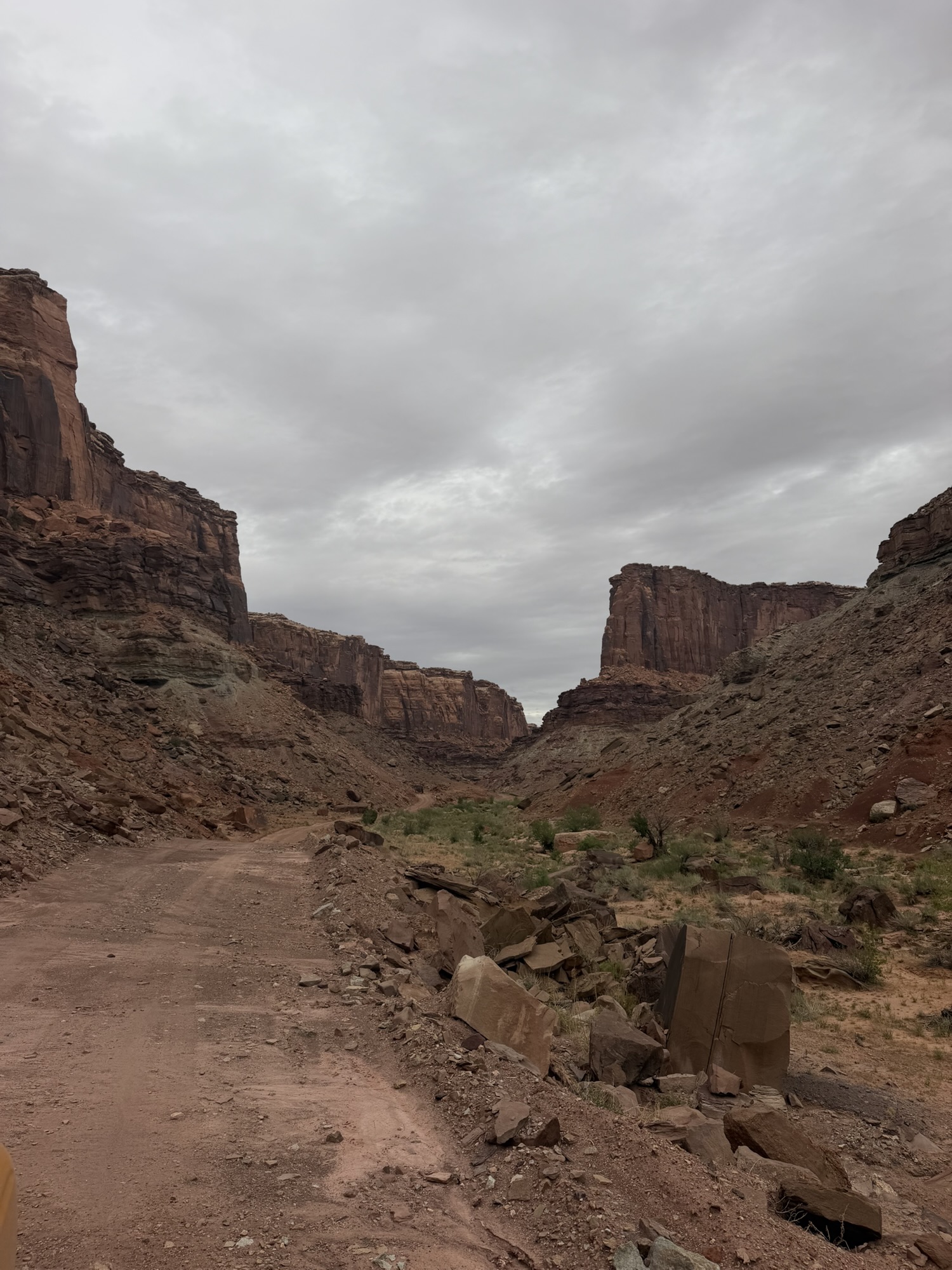
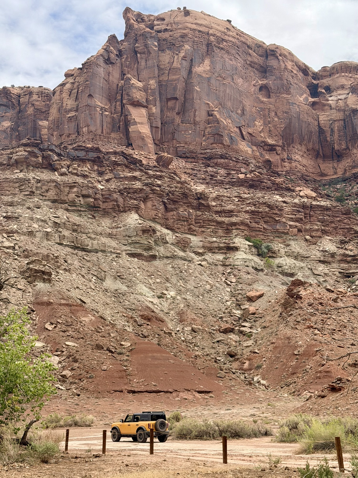
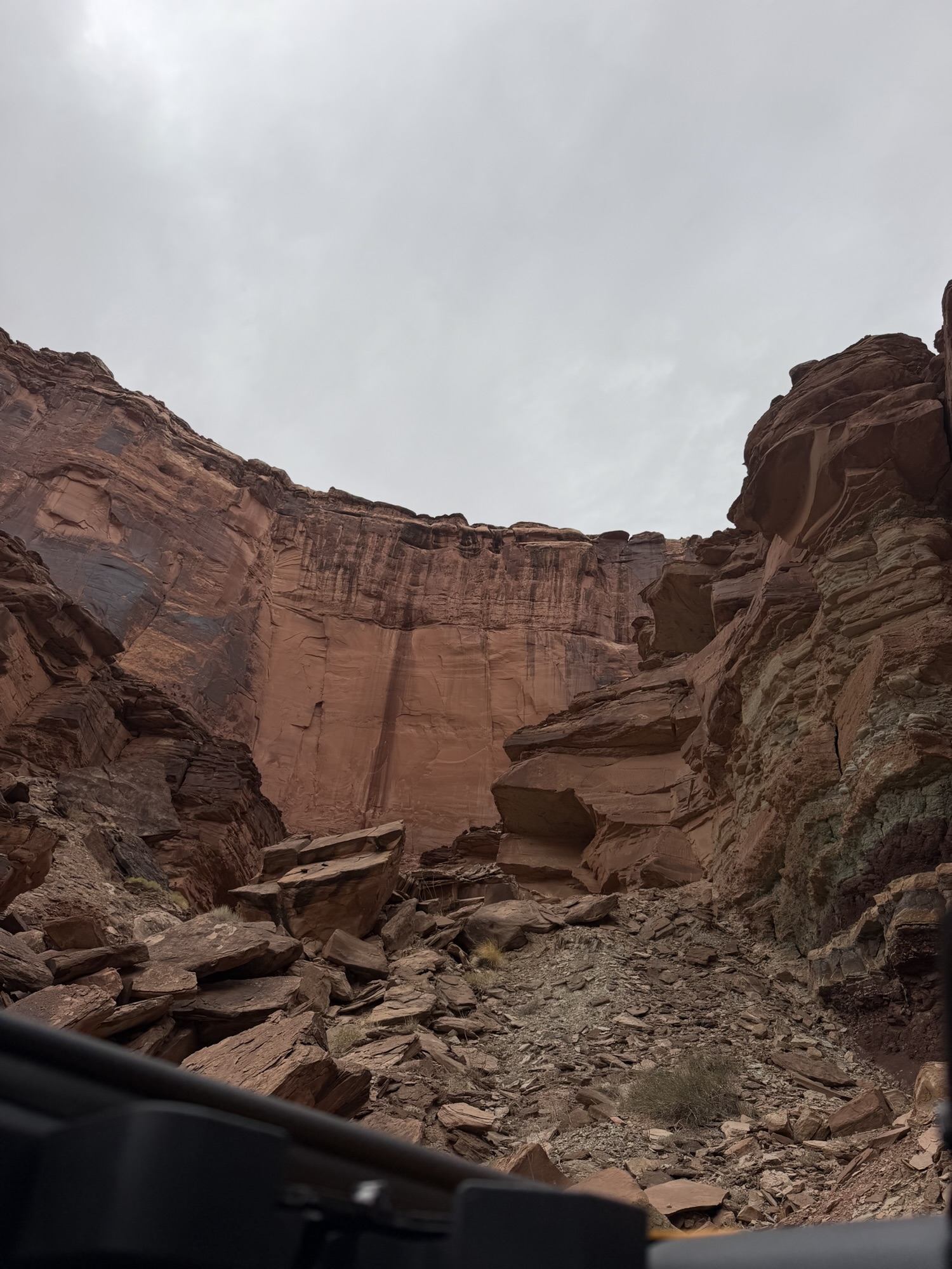
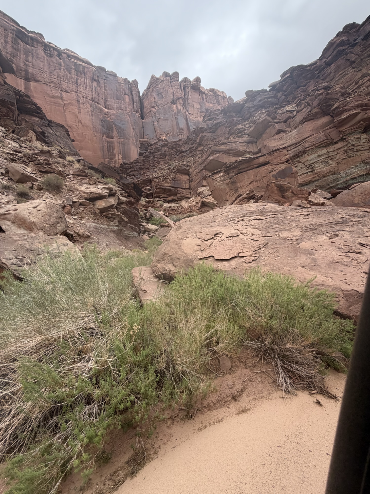
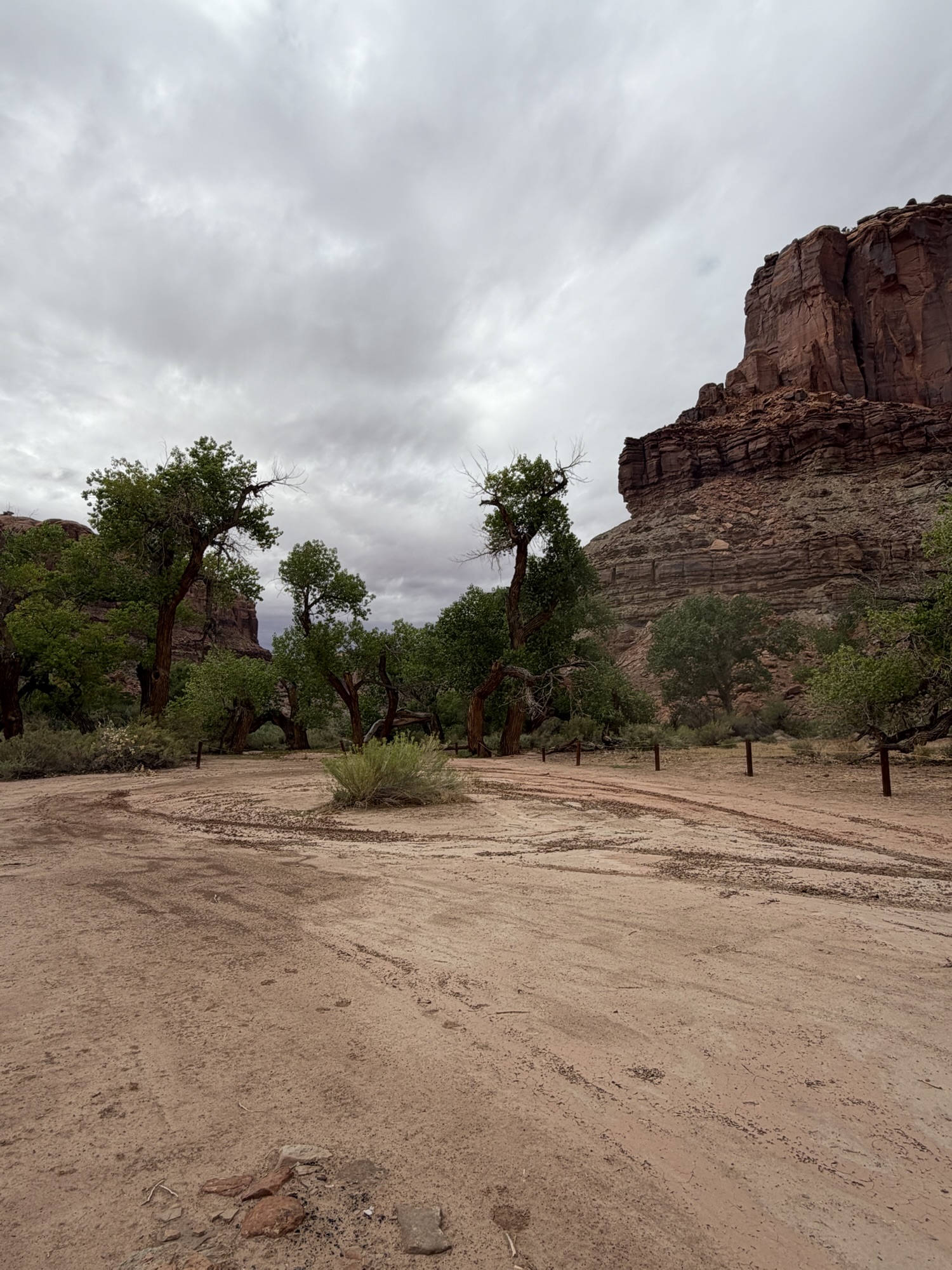
Once we safely reached the canyon floor—and I resumed breathing normally—the scenery made the nerve-racking descent worthwhile. From above, the canyon had appeared vast and almost map-like. From below, the towering walls seemed to rise endlessly around us, giving us an entirely different perspective on the landscape we had explored the previous day.
NOTE: I was only able to capture the easier portions of the trail; the scary sections I was too busy keeping my eyes squeezed tightly shut and my hands in a death grip on the holds inside the Bronco
Back to High Point Hummer
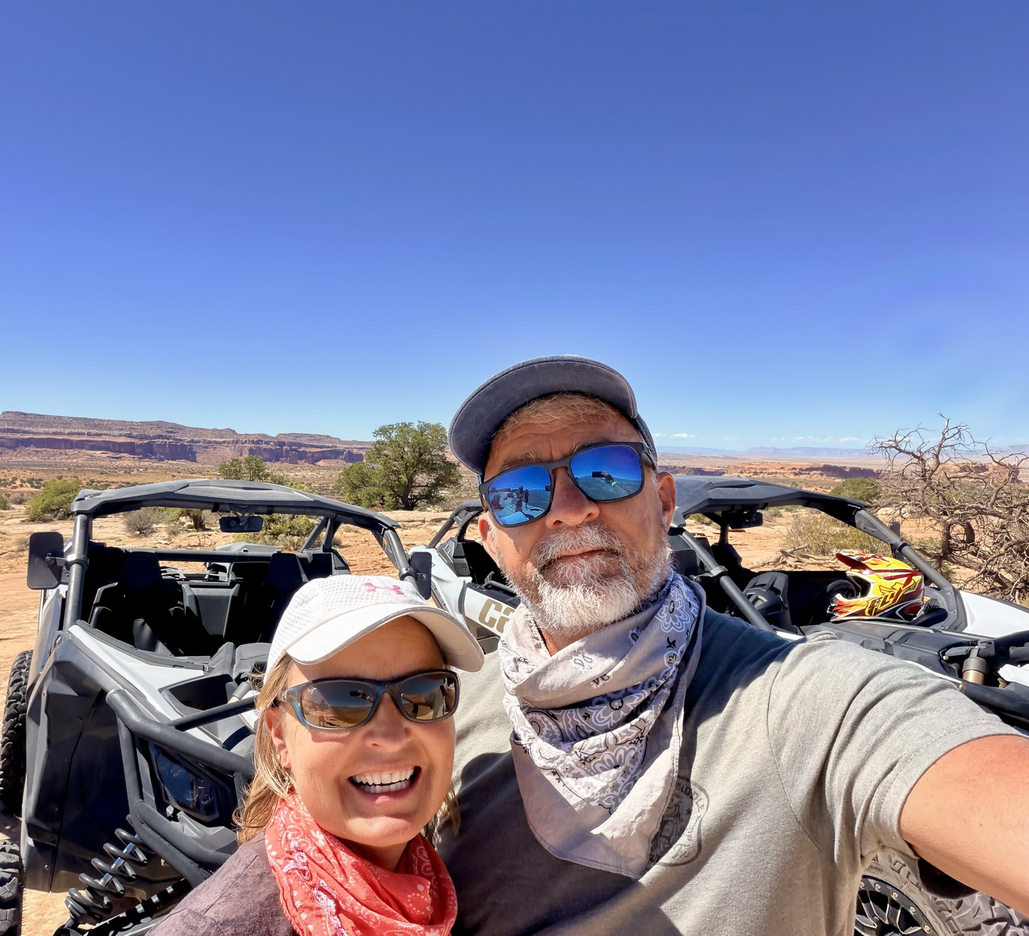
For our fifth day of off-roading, we returned to High Point Hummer & ATV, the company we rented from last year when we joined a guided tour through Hell’s Revenge and Fins N’ Things in Can-Am X3 side-by-sides.
We nearly waited too late to make our reservation this time, forgetting that our visit coincided with busy Labor Day weekend. The remaining option was the Monitor and Merrimac Trail tour—again in the Can-Am X3s—and it turned out to be a fun contrast to the highly technical terrain we tackled the previous year.
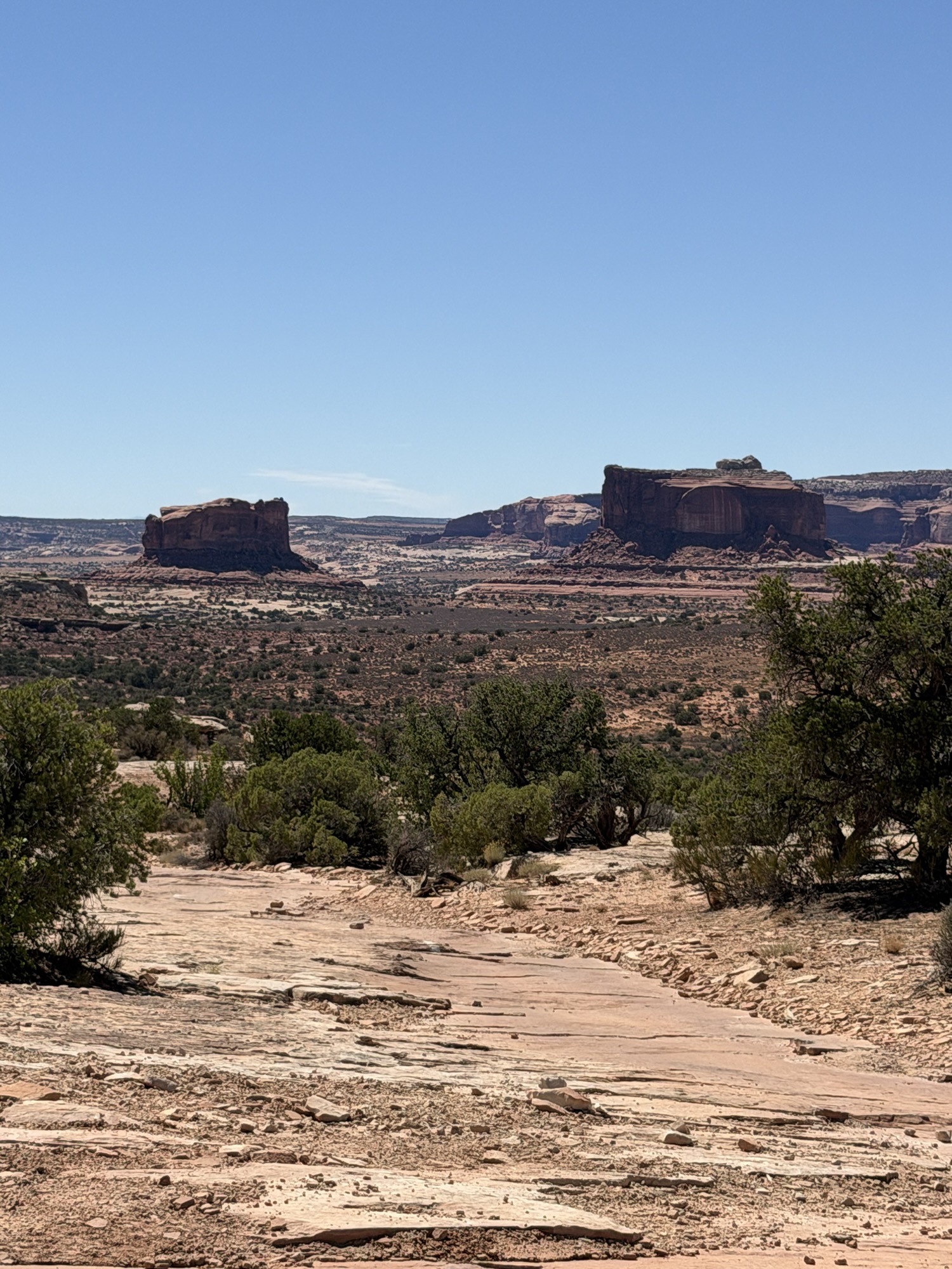
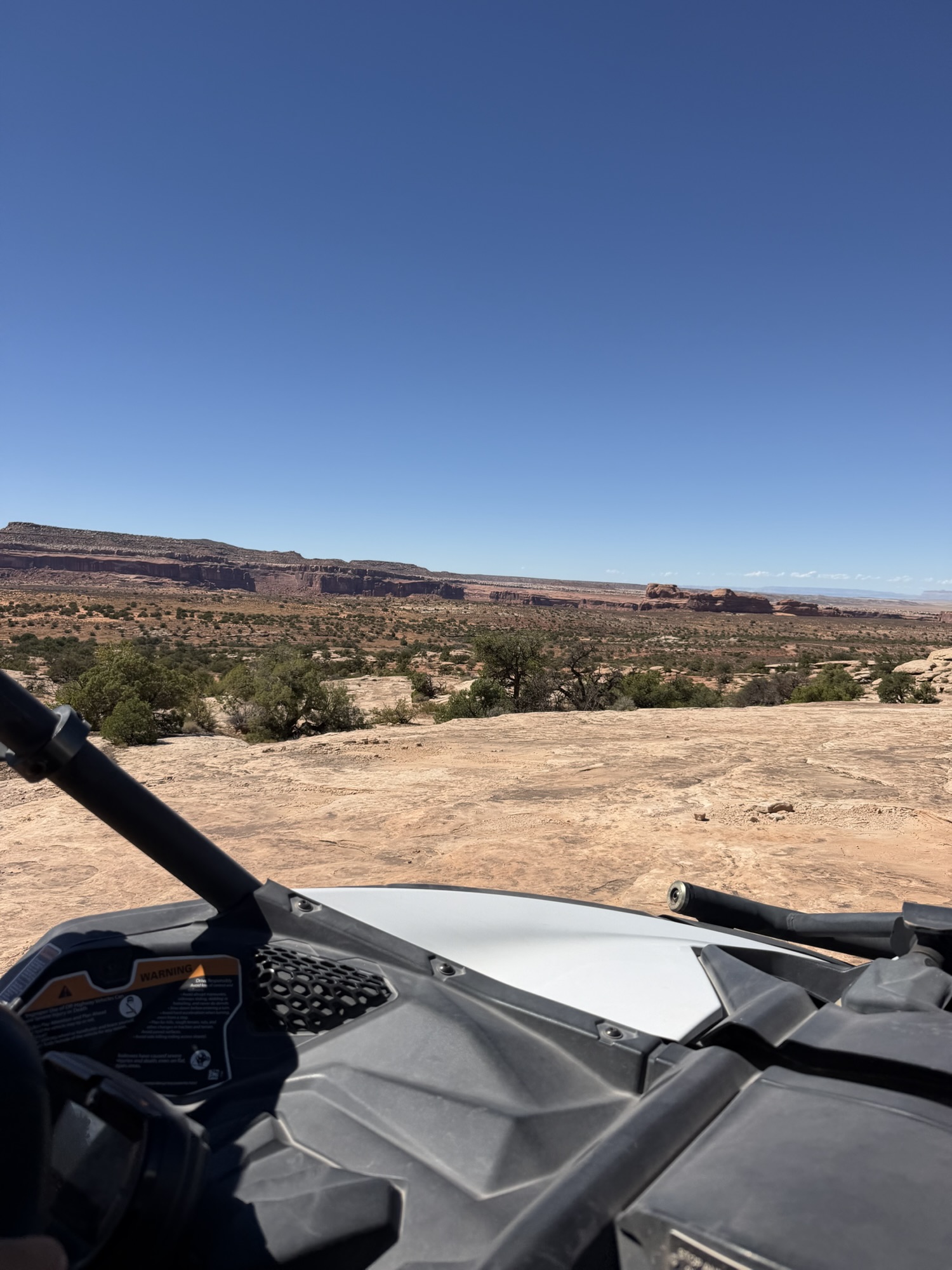
Monitor and Merrimac are two prominent sandstone buttes on BLM land approximately 15 miles north of Moab. Their shapes resemble the famous Civil War ironclad warships for which they were named: the Union’s Monitor on the right and the Confederate Merrimac—officially renamed the Virginia—on the left.
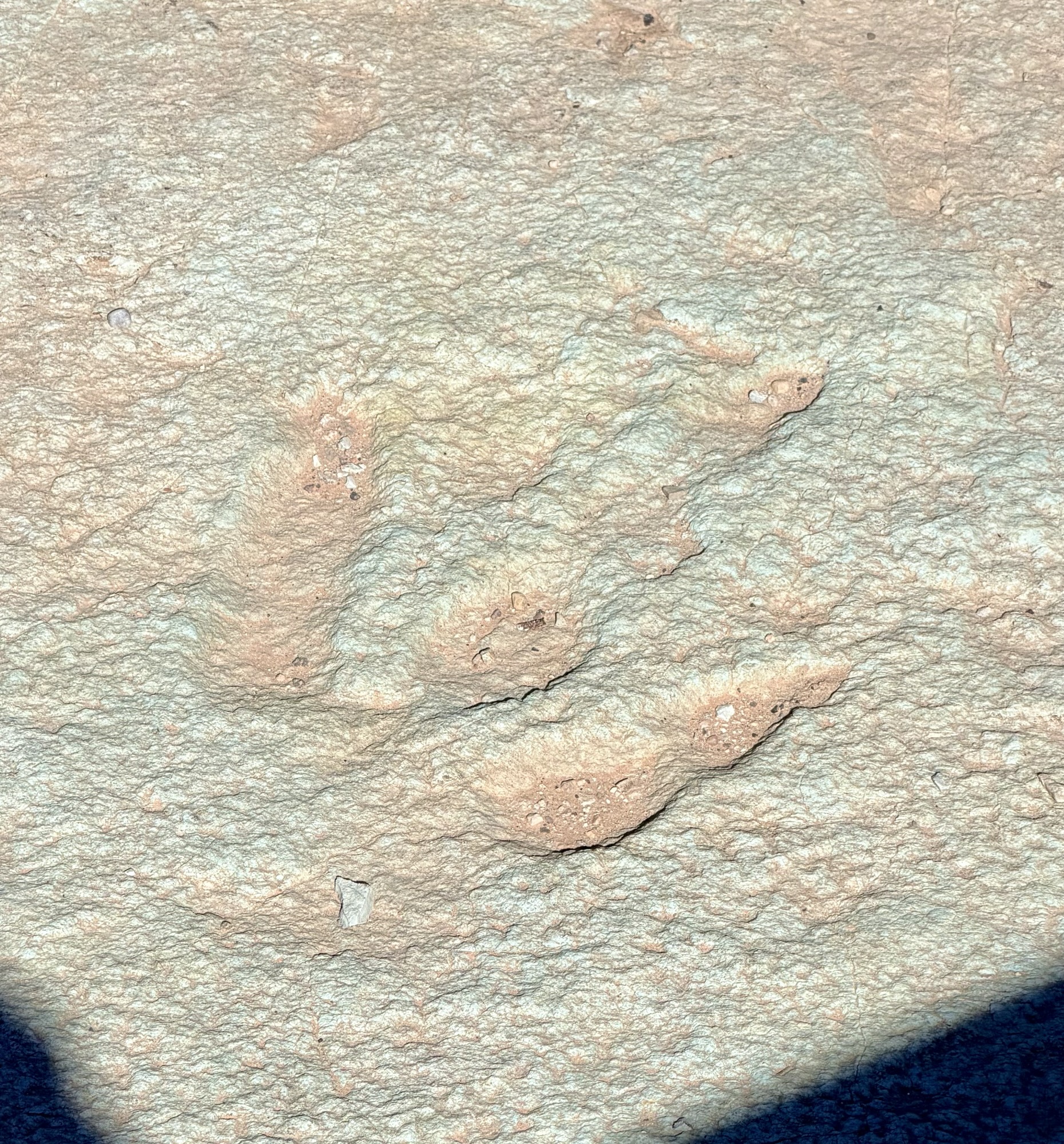
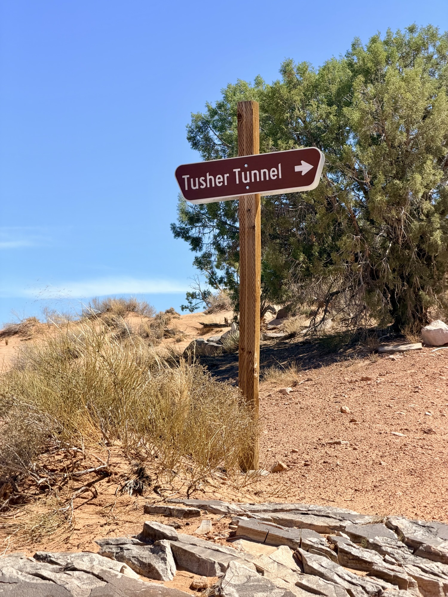
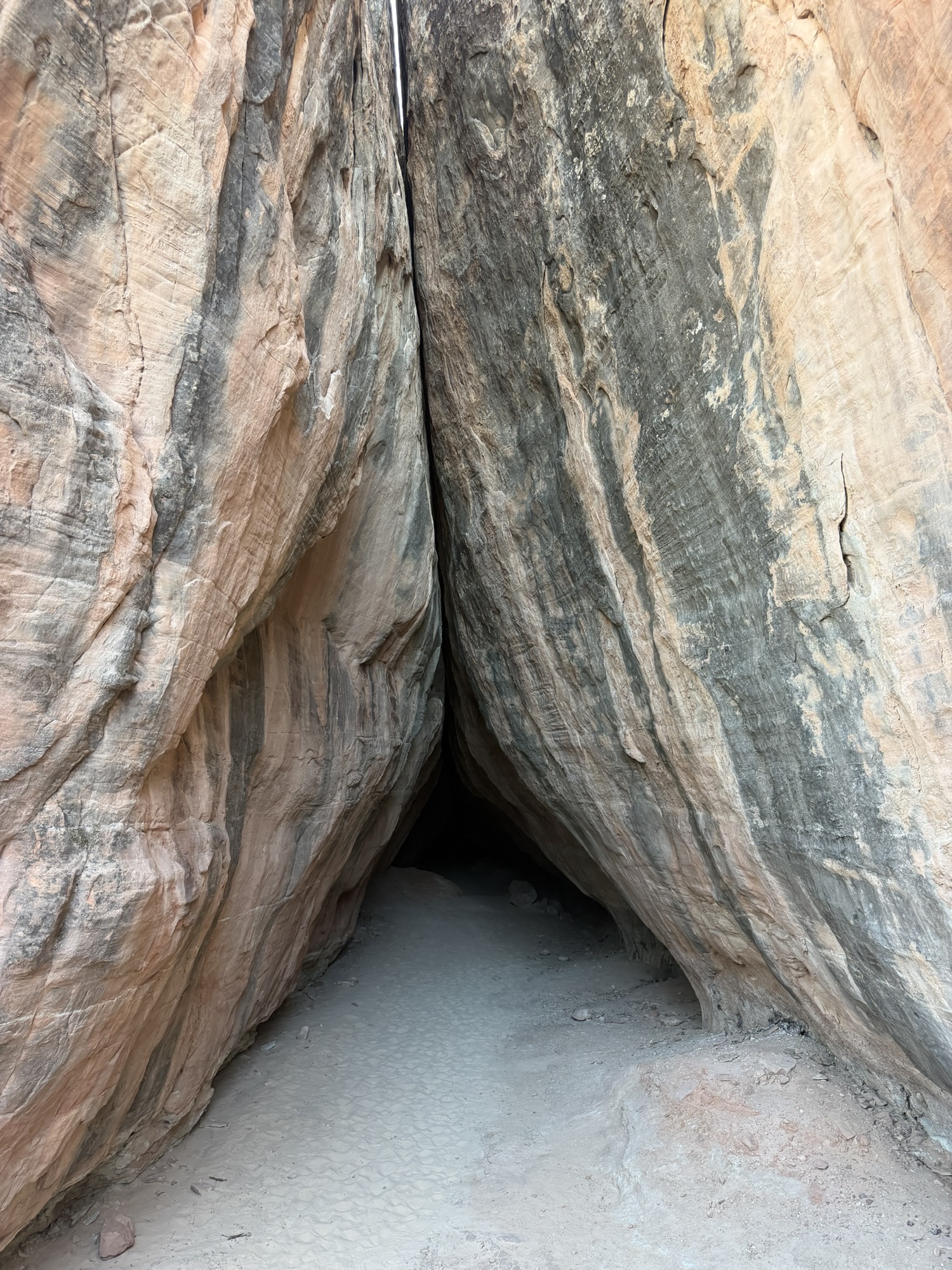
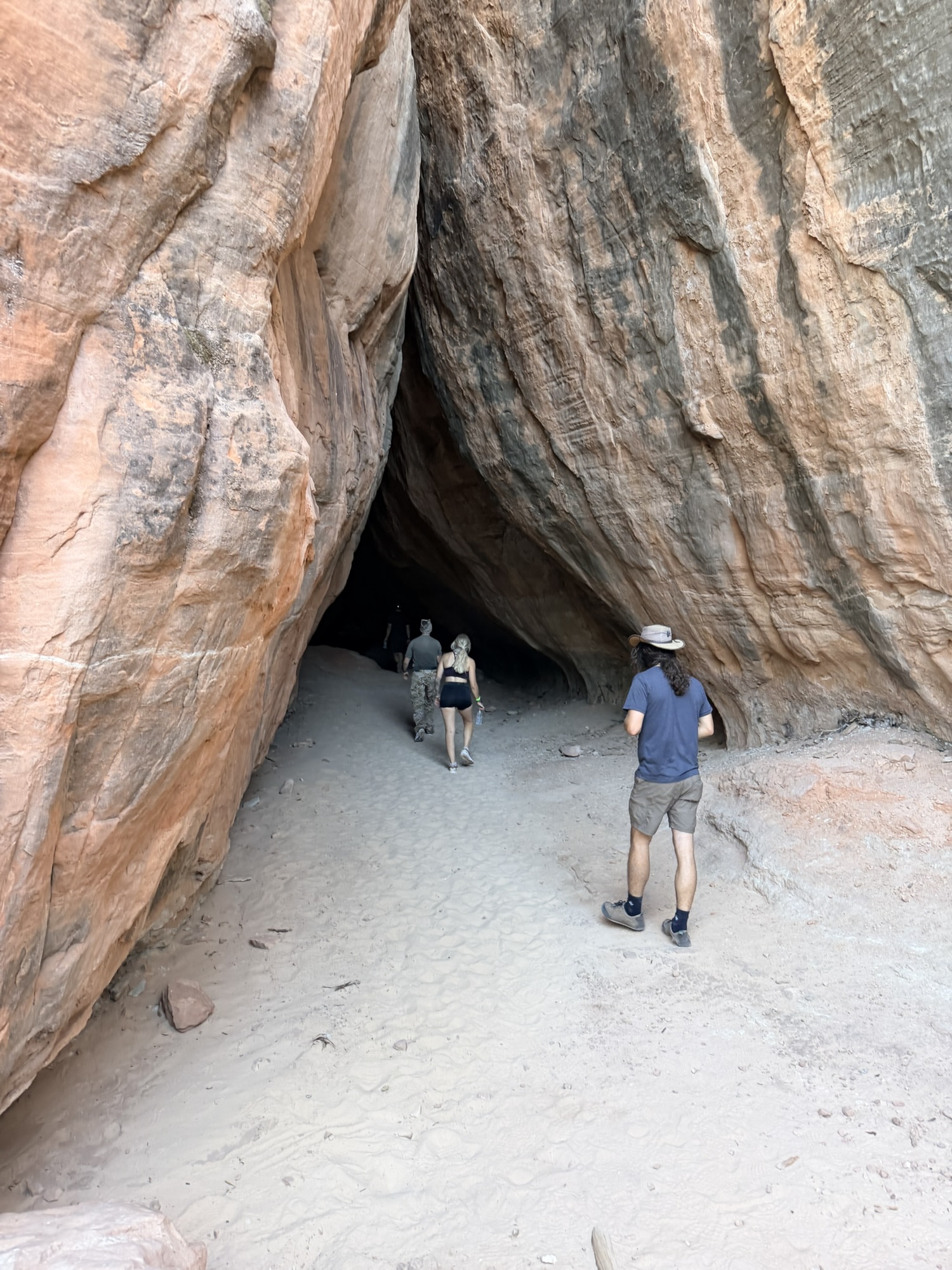
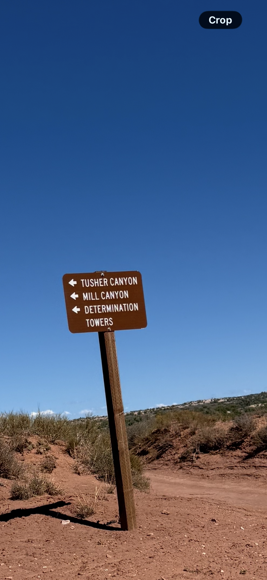
This route included wider stretches of open sand, allowing us to pick up as much as 30 MPH speed bursts, much faster than we could travel on the slow-going rocks and ledges of Hell’s Revenge. We also enjoyed views of Determination Towers, Tusher Tunnel, Uranium Arch, dinosaur fossils, and the sprawling canyons surrounding the trail.
Our guide didn’t disappoint, and neither did the scenery.


Work, Food and a Little Personal Maintenance
Of course, our time in Moab was not spent entirely on the trails. We worked each morning, tried several restaurants and walked next door to Moab Brewery on multiple evenings.
I also managed to squeeze in a little personal maintenance of my own with a great cut and color from LaDawn at Atomic Salon.
Between Creede’s mining history, Timber’s almost-bear encounter and five afternoons bouncing across Moab’s backroads, this portion of our journey delivered exactly the combination we enjoy most: beautiful scenery, interesting history, good food and just enough adventure to keep things entertaining.
Cheeto was covered in red dust, Timber had explored his share of rocks and rivers, and Jackson remained our comfortable home base through it all.
What more could a traveling trio—and their drivers—ask for?
Next Up: Durango and Angel Fire
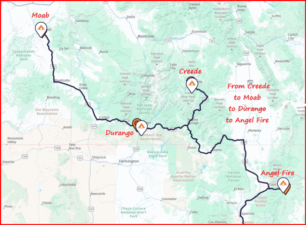
From Moab, we will point Jackson back toward Colorado for a two-night stay in Durango. We plan to ride the historic Durango & Silverton Narrow Gauge Railroad and use the remaining time to restock Jackson before continuing south to Angel Fire, New Mexico.
In Angel Fire, we will attend the DRV National Rally and reconnect with many of our fellow DRV owners. We have also added several extra days to explore the surrounding area and decide whether purchasing a possible ski place in northern New Mexico makes sense for us.
Angel Fire Resort reaches a summit elevation of 10,677 feet and offers 627 skiable acres—certainly enough terrain to make us curious about spending more time there during the winter. Of course, there is a big difference between enjoying a ski resort for several days and deciding we might want to own a place nearby, so we plan to do a little investigating while we are in the area.
Finally, don’t panic if you do not receive a weekly travel summary. Between the train ride, the rally, catching up with friends and our Angel Fire exploration, I probably will not post again until after we leave northern New Mexico.
 Masters of RVing Adventures
Leave a comment